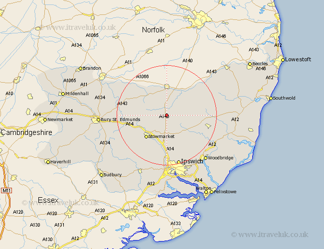
Suffolk Map Showing Location of Thwaite
Population: 132
District: Mid Suffolk
Easting: 611503 Northing: 267742
Latitude: 52.27 Longitude: 1.1
 = Thwaite
District: Mid Suffolk
Easting: 611503 Northing: 267742
Latitude: 52.27 Longitude: 1.1
= Thwaite
This Thwaite map below is supplied by Google. Use the tools in the top left corner to zoom into street level or zoom out for a road map, you may also need to zoom in to see Thwaite on the map. Click and drag the map to move around. If the map fails to load try and refresh your browser or zoom in or out (+ or -).
Update - it seems Google no longer allow people to use their maps for free! This Thwaite map sometimes loads and sometimes gives a error. I am working on a solution.
Closest 30 Towns or Cities to Thwaite (Population over 500)
Thorndon 2.92km Mendlesham 2.93km Gislingham 5.03km Bacton 5.67km Eye 6.52km Debenham 7.94km Old Newton 7.94km Botesdale 9.32km Haughley 9.7km Wortham 9.87km Worlingworth 10.21km Hoxne 11.49km Stowmarket 12.21km Badwell Ash 12.61km Stradbroke 12.62km Elmswell 13.02km Redgrave 13.03km Dennington 13.61km Hepworth 14.5km Stanton 14.69km Woolpit 14.71km Coddenham 14.88km Otley 15.84km Hopton 15.87km Great Finborough 15.89km Finborough 15.89km Norton 15.99km Fressingfield 16.45km Barningham 16.45km Ringshall 16.83km