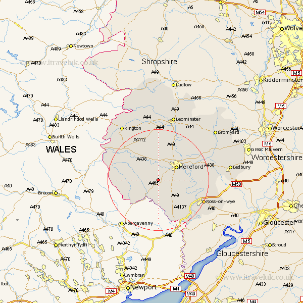
Herefordshire Map Showing Location of Thruxton
Population: 33
Easting: 343941 Northing: 233868
Latitude: 52 Longitude: -2.82
 = Thruxton
Easting: 343941 Northing: 233868
Latitude: 52 Longitude: -2.82
= Thruxton
This Thruxton map below is supplied by Google. Use the tools in the top left corner to zoom into street level or zoom out for a road map, you may also need to zoom in to see Thruxton on the map. Click and drag the map to move around. If the map fails to load try and refresh your browser or zoom in or out (+ or -).
Update - it seems Google no longer allow people to use their maps for free! This Thruxton map sometimes loads and sometimes gives a error. I am working on a solution.
Closest 30 Towns or Cities to Thruxton (Population over 500)
Kingstone 2.18km Allensmore 2.94km Madley 4.35km Much Dewchurch 4.93km Ewyas Harold 7.2km Bullingham 7.78km Much Birch 7.78km Hereford 8.82km Peterchurch 9.85km Credenhill 11.18km Burghill 11.63km Moreton 12.49km Moreton on Lugg 12.49km Moreton-on-Lugg 12.49km Lugwardine 13.6km Mordiford 13.72km Broad Oak 13.76km Sutton 14.38km Fownhope 14.83km Wellington 15.51km Withington 16.76km Weobley 18.85km Bodenham 19.01km Eardisley 19.41km Ross on Wye 19.47km Ross-on-wye 19.47km Ross 19.47km Walford 19.72km Goodrich 20.19km Almeley 20.2km