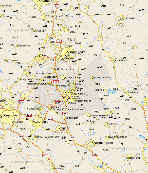
Leicestershire Map Showing Location of Thringstone
District: North West Leicestershire
Easting: 443885 Northing: 315309
Latitude: 52.73 Longitude: -1.35
 = Thringstone
Easting: 443885 Northing: 315309
Latitude: 52.73 Longitude: -1.35
= Thringstone
This Thringstone map below is supplied by Google. Use the tools in the top left corner to zoom into street level or zoom out for a road map, you may also need to zoom in to see Thringstone on the map. Click and drag the map to move around. If the map fails to load try and refresh your browser or zoom in or out (+ or -).
Update - it seems Google no longer allow people to use their maps for free! This Thringstone map sometimes loads and sometimes gives a error. I am working on a solution.
Closest 30 Towns or Cities to Thringstone (Population over 500)
Coalville 2.16km Coleorton 3.84km Belton 3.88km Ravenstone with Snibston 5.01km Ravenstone 5.01km Worthington 5.01km Sheepshed 5.59km Shepshed 5.59km Breedon-on-the-Hill 6.5km Breedon 6.5km Breedon on the Hill 6.5km Heather 7.15km Diseworth 7.5km Packington 8.07km Ashby de la Zouch 8.07km Ibstock 8.14km Markfield 8.66km Hathern 8.73km Bagworth 9.33km Measham 10.27km Woodhouse 10.27km Loughborough 10.76km Shackerstone 10.83km Kegworth 10.84km Barlestone 11.18km Castle Donnington 11.18km Castle Donington 11.18km Quorndon 12.34km Donisthorpe 12.48km Newbold Verdon 13.01km