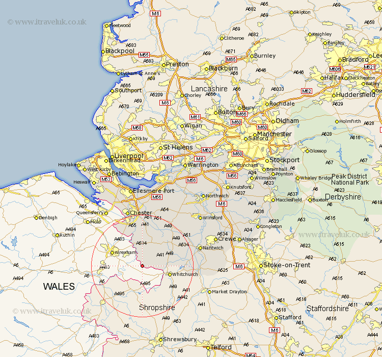
Cheshire Map Showing Location of Threapwood
Population: 285
District: Chester
Easting: 344080 Northing: 345101
Latitude: 53 Longitude: -2.83
 = Threapwood
District: Chester
Easting: 344080 Northing: 345101
Latitude: 53 Longitude: -2.83
= Threapwood
This Threapwood map below is supplied by Google. Use the tools in the top left corner to zoom into street level or zoom out for a road map, you may also need to zoom in to see Threapwood on the map. Click and drag the map to move around. If the map fails to load try and refresh your browser or zoom in or out (+ or -).
Update - it seems Google no longer allow people to use their maps for free! This Threapwood map sometimes loads and sometimes gives a error. I am working on a solution.
Closest 30 Towns or Cities to Threapwood (Population over 500)
Malpas 4.83km Tilston 5.67km Farndon 9.85km Harthill 10.81km Tattenhall 13.72km Wrenbury 15.72km Wrenbury cum Frith 15.72km Dodleston 16.75km Bunbury 17.85km Waverton 18.67km Tarporley 20.05km Christleton 20.38km Audlem 21.28km Barrow 22.35km Great Barrow 22.35km Nantwich 22.44km Tarvin 22.68km Chester 22.92km Mickle Trafford 24.12km Willaston 24.55km Ashton 25km Great Saughall 25.32km Saughall 25.32km Little Budworth 25.66km Wybunbury 25.91km Kelshall Hill 26.09km Kelsall Hill 26.09km Kelsall 26.09km Wistaston 26.2km Mollington 26.53km