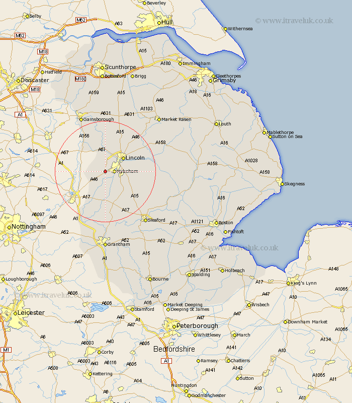
Lincolnshire Map Showing Location of Thorpe
Population: 530
District: North Kesteven
Easting: 491317 Northing: 366037
Latitude: 53.18 Longitude: -0.63
 = Thorpe
District: North Kesteven
Easting: 491317 Northing: 366037
Latitude: 53.18 Longitude: -0.63
= Thorpe
This Thorpe map below is supplied by Google. Use the tools in the top left corner to zoom into street level or zoom out for a road map, you may also need to zoom in to see Thorpe on the map. Click and drag the map to move around. If the map fails to load try and refresh your browser or zoom in or out (+ or -).
Update - it seems Google no longer allow people to use their maps for free! This Thorpe map sometimes loads and sometimes gives a error. I am working on a solution.
Closest 30 Towns or Cities to Thorpe (Population over 500)
North Hykeham 3.33km Hykeham 3.33km Eagle 3.33km Aubourn 3.87km Skellingthorpe 5.67km Swinderby 5.78km Waddington 6.92km North Scarle 6.92km Bassingham 7.41km Lincoln 8.67km Saxilby 9.34km Branston 11.11km Heighington 11.26km Wellingore 11.41km Washingborough 11.71km Navenby 12.1km Torksey 12.96km Nettleham 13.63km Scrampton 13.71km Scampton 13.71km Welbourn 14.11km Fiskerton 14.43km Reepham 14.43km Potter Hanworth 14.44km Nocton 14.56km Cherry Willingham 14.89km Sudbrooke 15.33km Dunston 15.99km Marton 16.26km Welton 16.37km