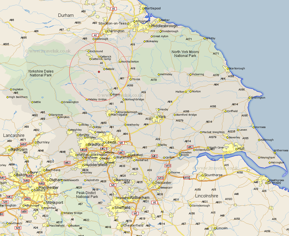
Yorkshire Map Showing Location of Thornton Watlass
Population: 183
District: Hambleton
Easting: 423878 Northing: 485750
Latitude: 54.27 Longitude: -1.63
 = Thornton Watlass
District: Hambleton
Easting: 423878 Northing: 485750
Latitude: 54.27 Longitude: -1.63
= Thornton Watlass
This Thornton Watlass map below is supplied by Google. Use the tools in the top left corner to zoom into street level or zoom out for a road map, you may also need to zoom in to see Thornton Watlass on the map. Click and drag the map to move around. If the map fails to load try and refresh your browser or zoom in or out (+ or -).
Update - it seems Google no longer allow people to use their maps for free! This Thornton Watlass map sometimes loads and sometimes gives a error. I am working on a solution.
Closest 30 Towns or Cities to Thornton Watlass (Population over 500)
Bedale 3.73km Crakehall 3.86km Masham 5.66km Tanfield 8.59km West Tanfield 8.59km Grewelthorpe 9.34km Catterick 11.12km Kirkby Malzeard 11.17km Middleham 12.05km Leyburn 12.46km Scorton 13.14km Northallerton 14.94km North Cowton 15.78km Richmond 16.18km Brompton 16.83km Cowton 17.89km East Cowton 17.89km Ripon 18.33km Topcliffe 18.71km Dishforth 19.15km Gilling 19.3km Thirsk 20.27km Middleton Tyas 20.41km Bewerley 22.16km Bishop Monkton 22.16km Monkton 22.16km Barton 22.27km Bradley 22.36km Burton Leonard 23.87km Melsonby 24.3km