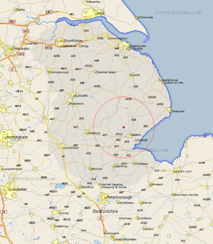
Lincolnshire Map Showing Location of Thornton
Population: 345
District: East Lindsey
Easting: 528510 Northing: 350198
Latitude: 53.03 Longitude: -0.08
 = Thornton
District: East Lindsey
Easting: 528510 Northing: 350198
Latitude: 53.03 Longitude: -0.08
= Thornton
This Thornton map below is supplied by Google. Use the tools in the top left corner to zoom into street level or zoom out for a road map, you may also need to zoom in to see Thornton on the map. Click and drag the map to move around. If the map fails to load try and refresh your browser or zoom in or out (+ or -).
Update - it seems Google no longer allow people to use their maps for free! This Thornton map sometimes loads and sometimes gives a error. I am working on a solution.
Closest 30 Towns or Cities to Thornton (Population over 500)
Frithville 3.34km Brothertoft 5.67km Carrington 5.99km Sibsey 6.69km Boston 7.13km Stickney 8.69km Tattershall 10.76km Coningsby 10.82km Butterwick 11.47km Frieston 11.6km Freiston 11.6km Leverton 11.75km Swineshead 11.98km Wyberton 11.98km Fishtoft 12.11km Old Leake 12.4km Leake 12.4km Bennington 12.46km Benington 12.46km Kirton 13.16km Wrangle 13.37km Frampton 13.71km Bicker 14.12km Billinghay 14.48km Sutterton 14.82km Heckington 15.3km Woodhall Spa 15.74km Great Hale 16.28km Hale 16.28km Mareham-on-the-Hill 16.72km