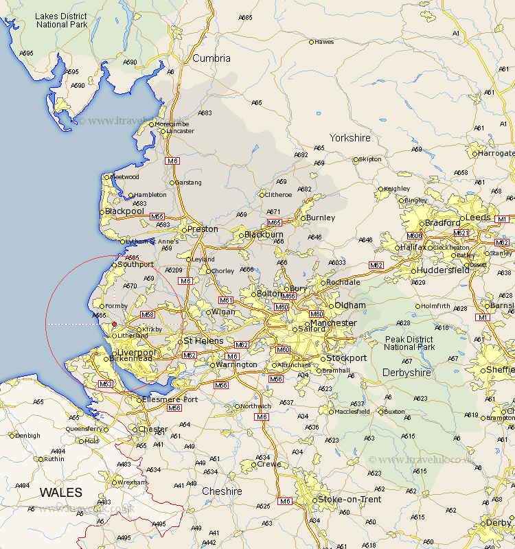
Lancashire Map Showing Location of Thornton
Population: 2262
District: Sefton
Easting: 333674 Northing: 400859
Latitude: 53.5 Longitude: -3
 = Thornton
District: Sefton
Easting: 333674 Northing: 400859
Latitude: 53.5 Longitude: -3
= Thornton
This Thornton map below is supplied by Google. Use the tools in the top left corner to zoom into street level or zoom out for a road map, you may also need to zoom in to see Thornton on the map. Click and drag the map to move around. If the map fails to load try and refresh your browser or zoom in or out (+ or -).
Update - it seems Google no longer allow people to use their maps for free! This Thornton map sometimes loads and sometimes gives a error. I am working on a solution.
Closest 30 Towns or Cities to Thornton (Population over 500)
Ince Blundell 2.16km Sefton 2.2km Lydiate 2.88km Crosby 3.31km Litherland 3.7km Hightown 3.79km Maghull 3.79km Bootle 3.86km Aintree 5.76km Melling 5.82km Formby 6.47km Aughton 6.64km Kirkby 6.87km Liverpool 9.26km Halsall 9.83km Ormskirk 9.93km Bickerstaffe 11.18km Knowsley 11.38km Scarisbrick 11.96km Rainford 13.36km Skelmersdale 13.73km Lathom 14.21km Burscough 14.39km Huyton with Roby 14.91km Huyton 14.91km Eccleston 15.38km Prescot 16.16km Prescott 16.16km Rufford 17.02km Parbold 17.99km