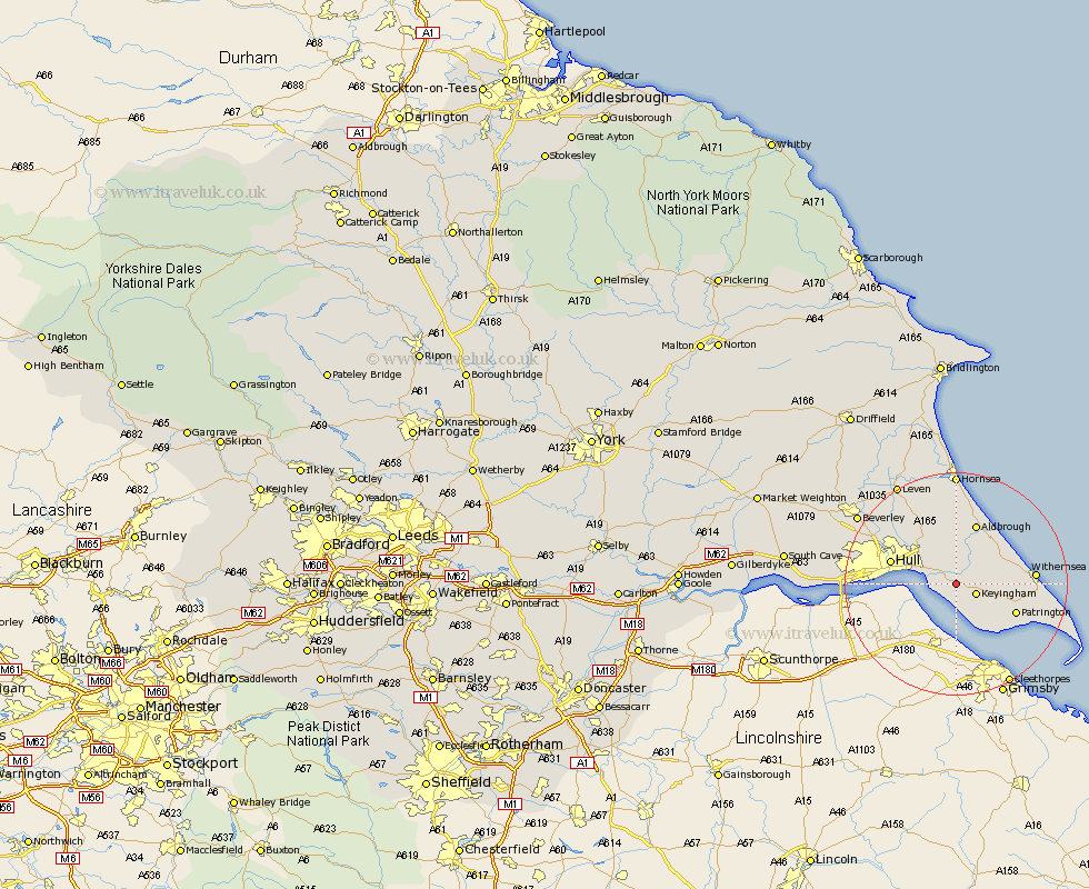
Yorkshire Map Showing Location of Thorngumbald
Population: 2709
Area Size (ha): 73
Easting: 520970 Northing: 426061
Latitude: 53.72 Longitude: -0.17
 = Thorngumbald
Area Size (ha): 73
Easting: 520970 Northing: 426061
Latitude: 53.72 Longitude: -0.17
= Thorngumbald
This Thorngumbald map below is supplied by Google. Use the tools in the top left corner to zoom into street level or zoom out for a road map, you may also need to zoom in to see Thorngumbald on the map. Click and drag the map to move around. If the map fails to load try and refresh your browser or zoom in or out (+ or -).
Update - it seems Google no longer allow people to use their maps for free! This Thorngumbald map sometimes loads and sometimes gives a error. I am working on a solution.
Closest 30 Towns or Cities to Thorngumbald (Population over 500)
Thorngumbald 0km Thorngumbold 0km Hedon 2.15km Burstwick 2.87km Keyingham 3.78km Paull 4.39km Ottringham 5.79km Preston 5.98km Burton Pidsea 7.08km Sproatley 7.49km Roos 8.52km Kingston upon Hull 10.97km Patrington 11.33km Aldbrough 11.59km Hull 11.83km Sutton on Hull 12.33km Sutton 12.33km Sutton-on-Hull 12.33km Skirlaugh Station 12.39km Withernsea 13.29km Walkington 13.51km Wawne 15.2km Cottingham 16.06km Hessle 17.55km Anlaby 17.64km Barton 17.94km Barton upon Humber 17.94km Woodmansey 18.06km Kirk Ella 19km Willerby 19.44km