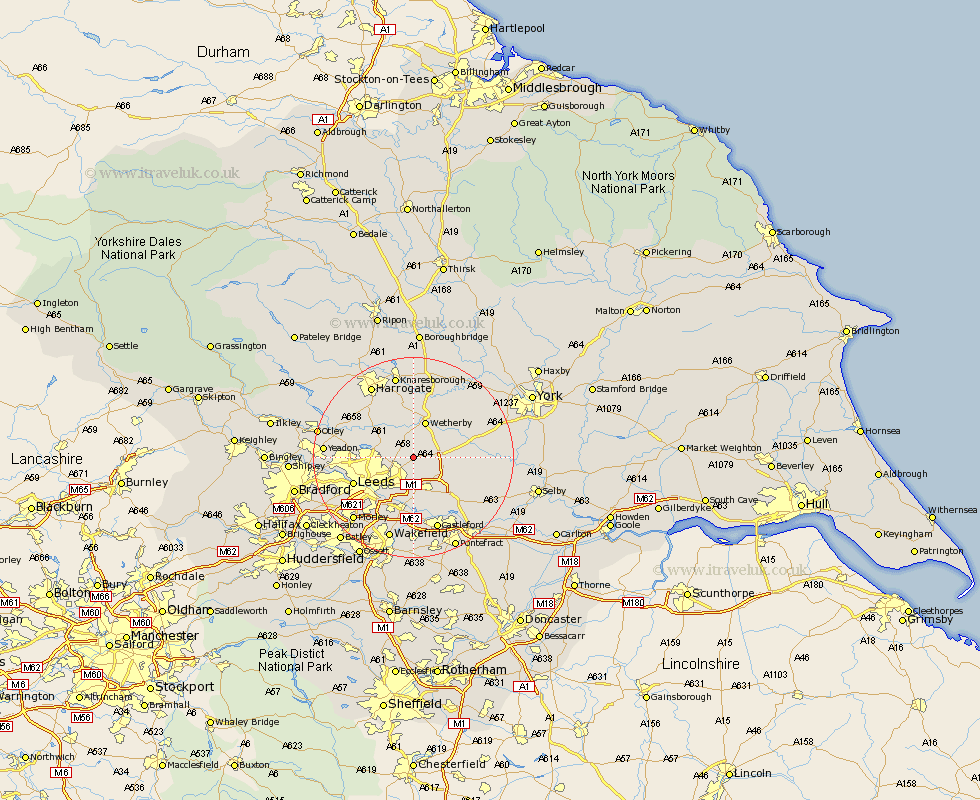
Yorkshire Map Showing Location of Thorner
Population: 1411
Area Size (ha): 39
District: Leeds
Easting: 438370 Northing: 439488
Latitude: 53.85 Longitude: -1.42
 = Thorner
Area Size (ha): 39
District: Leeds
Easting: 438370 Northing: 439488
Latitude: 53.85 Longitude: -1.42
= Thorner
This Thorner map below is supplied by Google. Use the tools in the top left corner to zoom into street level or zoom out for a road map, you may also need to zoom in to see Thorner on the map. Click and drag the map to move around. If the map fails to load try and refresh your browser or zoom in or out (+ or -).
Update - it seems Google no longer allow people to use their maps for free! This Thorner map sometimes loads and sometimes gives a error. I am working on a solution.
Closest 30 Towns or Cities to Thorner (Population over 500)
Scarcroft 2.87km Scholes 3.7km East Keswick 3.77km Bardsey 3.86km Collingham 5.67km Bramham 5.73km Aberford 6.61km Boston Spa 7.07km Wetherby 7.73km Garforth 7.73km Harewood 7.79km Micklefield 7.8km Thorpe Arch 9.21km Thorp Arch 9.21km Swillington 9.26km Kippax 9.83km Tadcaster 10.51km Rothwell 11.95km Leeds 12.27km Sherburn in Elmet 12.27km Sherburn 12.27km Weeton 12.31km Ulleskelf 13.12km Arthington Junction Station 13.24km Arthington 13.24km Pannal 13.49km Bramhope 13.63km Church Fenton 13.64km Lofthouse 14.08km Pool 14.24km