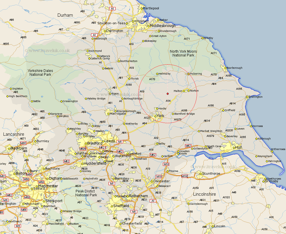
Yorkshire Map Showing Location of Terrington
Population: 520
District: Ryedale
Easting: 467537 Northing: 469494
Latitude: 54.12 Longitude: -0.97
 = Terrington
District: Ryedale
Easting: 467537 Northing: 469494
Latitude: 54.12 Longitude: -0.97
= Terrington
This Terrington map below is supplied by Google. Use the tools in the top left corner to zoom into street level or zoom out for a road map, you may also need to zoom in to see Terrington on the map. Click and drag the map to move around. If the map fails to load try and refresh your browser or zoom in or out (+ or -).
Update - it seems Google no longer allow people to use their maps for free! This Terrington map sometimes loads and sometimes gives a error. I am working on a solution.
Closest 30 Towns or Cities to Terrington (Population over 500)
Sheriff Hutton 4.3km Slingsby 4.93km Strensall 8.6km Stillington 9.95km Malton 10.37km Huby 11.48km Haxby 12.89km Wigginton 12.89km Nawton 13.01km Norton 13.22km Ampleforth 13.46km Earswick 14.07km Huntington 14.07km Shipton 15.14km Stamford Bridge 15.19km Easingwold 15.21km Helmsley 16.19km New Earswick 16.21km Kirby Moorside 16.82km Kirkby Moorside 16.82km Skelton 16.93km Tollerton 17.23km Rillington 17.76km Alne 17.78km York 18.34km Raskelf 18.56km Newton upon Ouse 18.76km Newton 18.76km Clifton 18.81km Fangfoss 18.81km