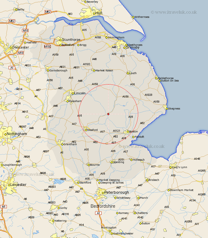
Lincolnshire Map Showing Location of Tattershall
Population: 2049
District: East Lindsey
Easting: 520502 Northing: 357413
Latitude: 53.1 Longitude: -0.2
 = Tattershall
District: East Lindsey
Easting: 520502 Northing: 357413
Latitude: 53.1 Longitude: -0.2
= Tattershall
This Tattershall map below is supplied by Google. Use the tools in the top left corner to zoom into street level or zoom out for a road map, you may also need to zoom in to see Tattershall on the map. Click and drag the map to move around. If the map fails to load try and refresh your browser or zoom in or out (+ or -).
Update - it seems Google no longer allow people to use their maps for free! This Tattershall map sometimes loads and sometimes gives a error. I am working on a solution.
Closest 30 Towns or Cities to Tattershall (Population over 500)
Coningsby 2.9km Woodhall Spa 5.67km Billinghay 5.87km Martin 9.09km Carrington 10.19km Digby 11.28km Horncastle 12.43km Banovallum 12.43km Mareham 12.84km Mareham-on-the-Hill 12.84km Mareham on the Hill 12.84km Scopwick 13.35km Frithville 13.38km Metheringham 13.85km Ruskington 14.32km Buskington 14.32km Dunston 14.46km Stickney 14.59km Bloxholm 14.59km Bloxholme 14.59km Brothertoft 14.6km Bardney 15.13km Heckington 15.84km Nocton 16.25km Sibsey 16.27km Brauncewell 16.55km Potter Hanworth 17.17km Leasingham 17.19km Heasingham 17.19km Great Hale 17.59km