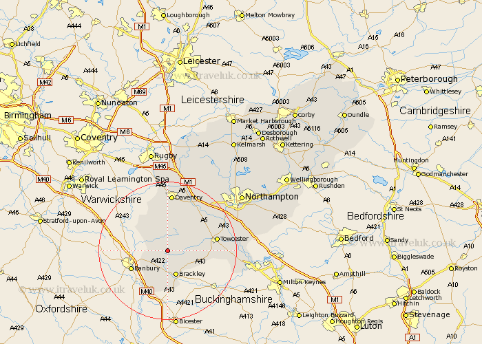
Northamptonshire Map Showing Location of Sulgrave
Population: 410
District: South Northamptonshire
Easting: 455933 Northing: 244989
Latitude: 52.1 Longitude: -1.18
 = Sulgrave
District: South Northamptonshire
Easting: 455933 Northing: 244989
Latitude: 52.1 Longitude: -1.18
= Sulgrave
This Sulgrave map below is supplied by Google. Use the tools in the top left corner to zoom into street level or zoom out for a road map, you may also need to zoom in to see Sulgrave on the map. Click and drag the map to move around. If the map fails to load try and refresh your browser or zoom in or out (+ or -).
Update - it seems Google no longer allow people to use their maps for free! This Sulgrave map sometimes loads and sometimes gives a error. I am working on a solution.
Closest 30 Towns or Cities to Sulgrave (Population over 500)
Greatworth 3.7km Helmdon 3.89km Chipping Warden 5.99km Chacombe 7.08km Chalcombe 7.08km Brackley 7.76km Syresham 7.77km Byfield 8.16km Boddington 10.08km Upper Boddington 10.08km Kings Sutton 10.87km Silverstone 11.54km Badby 12.98km Croughton 13.03km Pattishall 13.58km Aynho 13.75km Whittlebury 13.79km Towcester 14.15km Weedon 15.22km Weedon Beck 15.22km Bugbrooke 15.9km Gayton 16.54km Daventry 16.72km Paulerspury 17.18km Flore 17.39km Blisworth 18.61km Kislingbury 19.67km Harpole 20.14km Braunston 20.41km Milton 20.42km