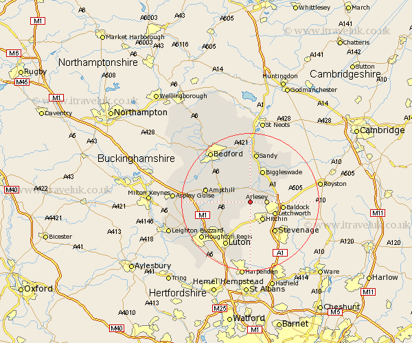
Bedfordshire Map Showing Location of Stondon
Population: 1821
District: Mid Bedfordshire
Easting: 515546 Northing: 234891
Latitude: 52 Longitude: -0.32
 = Stondon
District: Mid Bedfordshire
Easting: 515546 Northing: 234891
Latitude: 52 Longitude: -0.32
= Stondon
This Stondon map below is supplied by Google. Use the tools in the top left corner to zoom into street level or zoom out for a road map, you may also need to zoom in to see Stondon on the map. Click and drag the map to move around. If the map fails to load try and refresh your browser or zoom in or out (+ or -).
Update - it seems Google no longer allow people to use their maps for free! This Stondon map sometimes loads and sometimes gives a error. I am working on a solution.
Closest 30 Towns or Cities to Stondon (Population over 500)
Meppershall 1.14km Henlow 2.94km Shillington 2.94km Gravenhurst 3.42km Clifton 3.87km Shefford 3.87km Arlesey 4.56km Arlesley 4.56km Campton and Chicksands 5.04km Southill 5.68km Langford 6.53km Silsoe 6.85km Stotfold 6.85km Clophill 7.09km Haynes 8.82km Barton in the Clay 8.82km Barton 8.82km Flitton 9.13km Maulden 9.31km Pulloxhill 9.32km Biggleswade 9.87km Wilhamstead 10.89km Willshamstead 10.89km Wilshamstead 10.89km Wilstead 10.89km Streatley 10.9km Northill 11.12km Flitwick 11.41km Houghton Conquest 11.67km Westoning 12km