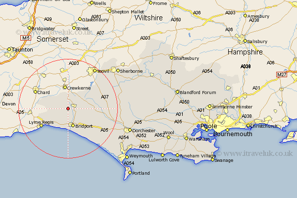
Dorset Map Showing Location of Stoke Abbott
Population: 209
District: West Dorset
Easting: 344803 Northing: 100403
Latitude: 50.8 Longitude: -2.78
 = Stoke Abbott
District: West Dorset
Easting: 344803 Northing: 100403
Latitude: 50.8 Longitude: -2.78
= Stoke Abbott
This Stoke Abbott map below is supplied by Google. Use the tools in the top left corner to zoom into street level or zoom out for a road map, you may also need to zoom in to see Stoke Abbott on the map. Click and drag the map to move around. If the map fails to load try and refresh your browser or zoom in or out (+ or -).
Update - it seems Google no longer allow people to use their maps for free! This Stoke Abbott map sometimes loads and sometimes gives a error. I am working on a solution.
Closest 30 Towns or Cities to Stoke Abbott (Population over 500)
Broadwinsor 2.2km Broadwindsor 2.2km Beaminster 2.34km Netherbury 2.99km Mosterton 5.68km Thorncombe 7.27km Bridport 7.65km Bradpole 8.21km Loders 8.77km Chideock 9.55km Charmouth 11.06km Burton Bradstock 12.07km Lyme Regis 12.9km Maiden Newton 15.68km Leigh 17.99km Yetminster 18.84km Bradford Abbas 19.12km Abbotsbury 19.65km Portisham 21.26km Portesham 21.26km Cerne Abbas 22.25km Buckland Newton 23.71km Charminster 24.59km Puddletrenthide 25.84km Piddletrenthide 25.84km Sherbourne 25.95km Sherborne 25.95km Dorchester 26.3km Chickerell 28.52km West Chickerel 28.52km