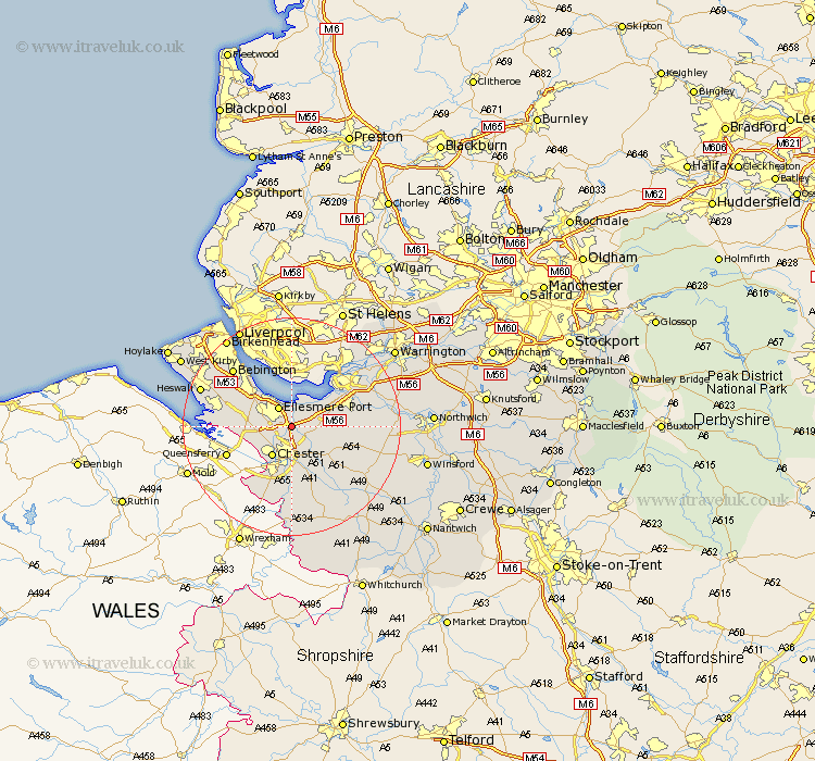
Cheshire Map Showing Location of Stoke
Population: 145
District: Chester
Easting: 342180 Northing: 372935
Latitude: 53.25 Longitude: -2.87
 = Stoke
District: Chester
Easting: 342180 Northing: 372935
Latitude: 53.25 Longitude: -2.87
= Stoke
This Stoke map below is supplied by Google. Use the tools in the top left corner to zoom into street level or zoom out for a road map, you may also need to zoom in to see Stoke on the map. Click and drag the map to move around. If the map fails to load try and refresh your browser or zoom in or out (+ or -).
Update - it seems Google no longer allow people to use their maps for free! This Stoke map sometimes loads and sometimes gives a error. I am working on a solution.
Closest 30 Towns or Cities to Stoke (Population over 500)
Elton 3.33km Mollington 3.81km Ellesmere Port 4.32km Dunham-on-the-Hill 4.43km Dunham on the Hill 4.43km Dunham 4.43km Mickle Trafford 4.98km Chester 6.48km Great Saughall 6.67km Saughall 6.67km Helsby 6.91km Barrow 7.11km Great Barrow 7.11km Christleton 7.74km Tarvin 8.67km Willaston 9.61km Ashton 9.62km Hale 10.27km Waverton 10.27km Frodsham 10.46km Weston 11.56km Runcorn 12.08km Neston 12.74km Kelsall Hill 12.75km Kelshall Hill 12.75km Kelsall 12.75km Halton 13.33km Kingsley 13.43km Delamere 13.82km Dodleston 14.11km