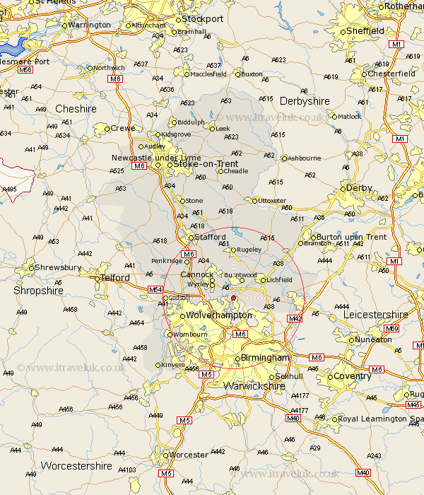
Staffordshire Map Showing Location of Brownhills
Population: 17868
Area Size (ha): 470
District: Walsall
Easting: 404511 Northing: 303990
Latitude: 52.63 Longitude: -1.93
 = Brownhills
Area Size (ha): 470
District: Walsall
Easting: 404511 Northing: 303990
Latitude: 52.63 Longitude: -1.93
= Brownhills
This Brownhills map below is supplied by Google. Use the tools in the top left corner to zoom into street level or zoom out for a road map, you may also need to zoom in to see Brownhills on the map. Click and drag the map to move around. If the map fails to load try and refresh your browser or zoom in or out (+ or -).
Update - it seems Google no longer allow people to use their maps for free! This Brownhills map sometimes loads and sometimes gives a error. I am working on a solution.
Closest 30 Towns or Cities to Brownhills (Population over 500)
Pelsall 2.16km Hammerwich 3.85km Rushall 3.87km Aldridge 3.87km Wallsall 5.83km Walsall 5.83km Burntwood 6km Norton Canes 6km Shenstone 6.75km Great Wyrley 6.91km Wyrley 6.91km Cannock 7.91km Hednesford 8.67km Lichfield 9.63km Longdon 9.87km Huntington 10.02km Shareshill 10.78km Armitage 11.62km Bilston 11.66km Whittington 12.54km West Bromwich 13.72km Wolverhampton 14.6km Rugeley 14.83km Colton 14.88km Drayton Bassett 15.09km Smethwick 15.49km Elford 15.64km Fazeley 15.86km Alrewas 16.37km Yoxall 16.45km