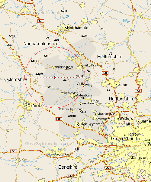
Buckinghamshire Map Showing Location of Claydon
Population: 2234
Area Size (ha): 51
District: Aylesbury Vale
Easting: 469890 Northing: 226624
Latitude: 51.93 Longitude: -0.98
 = Claydon
Area Size (ha): 51
District: Aylesbury Vale
Easting: 469890 Northing: 226624
Latitude: 51.93 Longitude: -0.98
= Claydon
This Claydon map below is supplied by Google. Use the tools in the top left corner to zoom into street level or zoom out for a road map, you may also need to zoom in to see Claydon on the map. Click and drag the map to move around. If the map fails to load try and refresh your browser or zoom in or out (+ or -).
Update - it seems Google no longer allow people to use their maps for free! This Claydon map sometimes loads and sometimes gives a error. I am working on a solution.
Closest 30 Towns or Cities to Claydon (Population over 500)
Twyford 3.43km Gawcott 3.88km Padbury 4.36km Marsh Gibbon 5.88km Tingewick 7.19km Thornborough 7.2km Buckingham 7.42km Grendon Underwood 7.49km Maids Moreton 7.5km Winslow 8.21km Quainton 8.71km Great Horwood 8.82km Stowe 9.55km North Marston 9.75km Akeley 11.18km Mursley 11.43km Whitechurch 11.7km Whitchurch 11.7km Waddesdon 12.03km Brill 13.75km Newton Longville 15.31km Stony Stratford 15.87km Oakley 15.89km Stewkley 16.11km Shenley Church End 16.54km Shenley 16.54km Shenley Brook End 16.59km Wolverton 17.28km Cuddington 17.3km Stone 17.42km