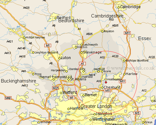
Hertfordshire Map Showing Location of Broxbourne
District: Broxbourne
Easting: 538095 Northing: 205786
Latitude: 51.73 Longitude: -0
 = Broxbourne
Easting: 538095 Northing: 205786
Latitude: 51.73 Longitude: -0
= Broxbourne
This Broxbourne map below is supplied by Google. Use the tools in the top left corner to zoom into street level or zoom out for a road map, you may also need to zoom in to see Broxbourne on the map. Click and drag the map to move around. If the map fails to load try and refresh your browser or zoom in or out (+ or -).
Update - it seems Google no longer allow people to use their maps for free! This Broxbourne map sometimes loads and sometimes gives a error. I am working on a solution.
Closest 30 Towns or Cities to Broxbourne (Population over 500)
Hoddesdon 1.86km Cheshunt 4.36km Stanstead Abbots 5.68km Great Amwell 5.68km Little Amwell 6.01km Ware 7.76km Hertford 8.72km Hertingfordbury 8.85km Cuffley 8.85km Widford 9.55km Essendon 10.49km Thundridge 11.18km Bishops Hatfield 12.06km Brookmans Park 12.62km Potters Bar 12.76km Stapleford 13.08km Harmer Green 13.64km Tewin 13.87km Sawbridgeworth 13.88km Much Hadham 14.19km Watton at Stone 14.69km Watton 14.69km Little Munden 15.23km Welwyn Garden City 15.63km Garden City 15.63km Hatfield 16.04km Datchworth 16.58km Thorley 16.58km Standon 16.84km Colney Heath 17.22km