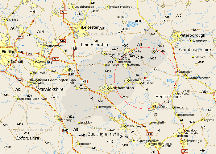
Northamptonshire Map Showing Location of Stanwick
Population: 1924
District: East Northamptonshire
Easting: 498827 Northing: 269765
Latitude: 52.32 Longitude: -0.55
 = Stanwick
District: East Northamptonshire
Easting: 498827 Northing: 269765
Latitude: 52.32 Longitude: -0.55
= Stanwick
This Stanwick map below is supplied by Google. Use the tools in the top left corner to zoom into street level or zoom out for a road map, you may also need to zoom in to see Stanwick on the map. Click and drag the map to move around. If the map fails to load try and refresh your browser or zoom in or out (+ or -).
Update - it seems Google no longer allow people to use their maps for free! This Stanwick map sometimes loads and sometimes gives a error. I am working on a solution.
Closest 30 Towns or Cities to Stanwick (Population over 500)
Raunds 2.17km Higham Ferrers 2.93km Irthlingborough 3.4km Ringstead 3.7km Rushden 4.35km Woodford 5.67km Finedon 5.96km Islip 7.49km Irchester 7.94km Burton Latimer 8.75km Thrapston 9.33km Titchmarsh 10.31km Wellingborough 10.37km Isham 10.84km Wollaston 10.86km Doddington 11.62km Great Doddington 11.62km Wilby 12.63km Bozeat 13.66km Kettering 14.63km Brigstock 15.21km Earls Barton 15.5km Broughton 15.73km Geddington 15.81km Sywell 16.29km Whiston 16.47km Yardley Hastings 18km Stanion 18.01km Walgrave 18.22km Overstone 18.51km