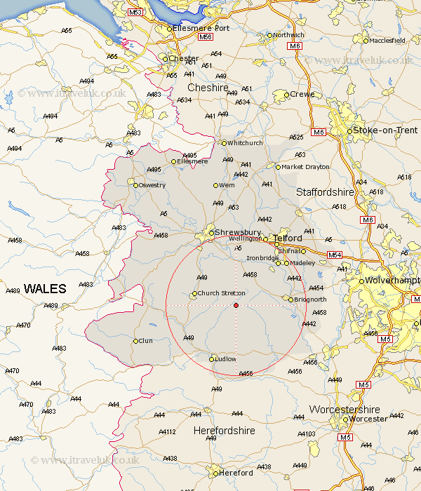
Shropshire Map Showing Location of Stanton Long
Population: 208
District: Bridgnorth
Easting: 357028 Northing: 291208
Latitude: 52.52 Longitude: -2.63
 = Stanton Long
District: Bridgnorth
Easting: 357028 Northing: 291208
Latitude: 52.52 Longitude: -2.63
= Stanton Long
This Stanton Long map below is supplied by Google. Use the tools in the top left corner to zoom into street level or zoom out for a road map, you may also need to zoom in to see Stanton Long on the map. Click and drag the map to move around. If the map fails to load try and refresh your browser or zoom in or out (+ or -).
Update - it seems Google no longer allow people to use their maps for free! This Stanton Long map sometimes loads and sometimes gives a error. I am working on a solution.
Closest 30 Towns or Cities to Stanton Long (Population over 500)
Ditton Priors 4.88km Rushbury 5.64km Diddlebury 7.92km Much Wenlock 10.84km Church Stretton 11.87km Cressage 13.01km Bitterley 13.02km Barrow Bridge 14.59km Barrow 14.59km Bridgnorth 14.77km Broseley 15.05km Berrington 15.49km Wistanstow 15.69km Craven Arms 16.42km Condover 16.79km Ironbridge 17.17km Cleobury Mortimer 17.98km Ludlow 18km Worfield 18.41km Kinlet 18.41km Baystonhill 18.45km Highley 18.48km Caynham 18.67km Madeley 18.73km Dawley 20.12km Alveley 20.57km Wrockwardine 20.87km Telford 21.74km Wellington 21.85km North Lydbury 22.15km