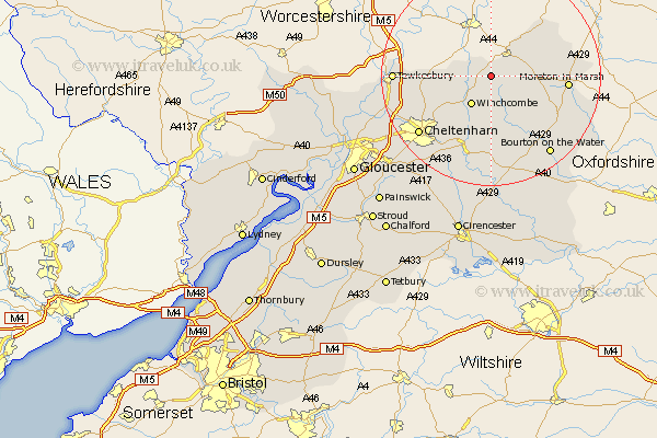
Gloucestershire Map Showing Location of Stanton
Population: 217
District: Tewkesbury
Easting: 406864 Northing: 233558
Latitude: 52 Longitude: -1.9
 = Stanton
District: Tewkesbury
Easting: 406864 Northing: 233558
Latitude: 52 Longitude: -1.9
= Stanton
This Stanton map below is supplied by Google. Use the tools in the top left corner to zoom into street level or zoom out for a road map, you may also need to zoom in to see Stanton on the map. Click and drag the map to move around. If the map fails to load try and refresh your browser or zoom in or out (+ or -).
Update - it seems Google no longer allow people to use their maps for free! This Stanton map sometimes loads and sometimes gives a error. I am working on a solution.
Closest 30 Towns or Cities to Stanton (Population over 500)
Dumbleton 4.93km Winchcombe 6.53km Winchcomb 6.53km Alderton 7.09km Chipping Campden 8.8km Blockley 10.43km Southam 12.67km Ebrington 12.69km Bishops Cleeve 12.7km Mickleton 13km Stow on the Wold 13.62km Stow-on-the-Wold 13.62km Moreton in Marsh 13.82km Moreton in the Marsh 13.82km Moreton-in-Marsh 13.82km Ashchurch 14.83km Andoversford 15.21km Swindon 15.58km Cheltenham 16.78km Tewkesbury 17.11km Bourton-on-the-Water 18.04km Bourton on the Water 18.04km Charlton Kings 18.72km Withington 18.85km Northleach 19.4km Leckhampton 19.43km Staverton 20.49km Deerhurst 20.88km Shurdington 20.99km Chedworth 22.27km