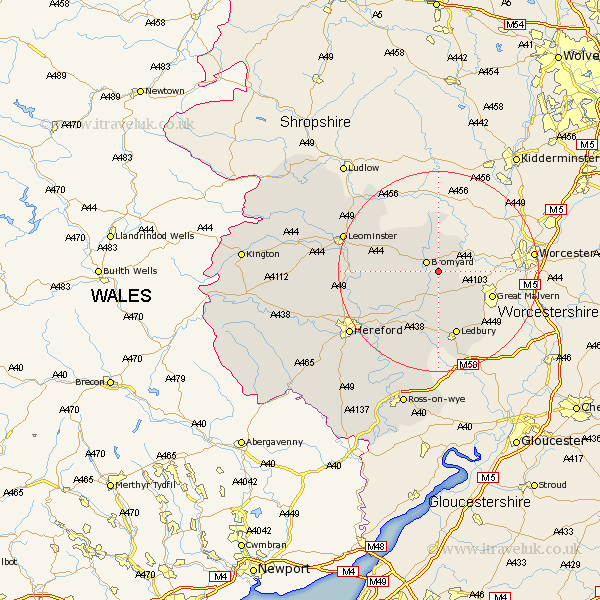
Herefordshire Map Showing Location of Stanford Bishop
Population: 129
Easting: 368085 Northing: 252195
Latitude: 52.17 Longitude: -2.47
 = Stanford Bishop
Easting: 368085 Northing: 252195
Latitude: 52.17 Longitude: -2.47
= Stanford Bishop
This Stanford Bishop map below is supplied by Google. Use the tools in the top left corner to zoom into street level or zoom out for a road map, you may also need to zoom in to see Stanford Bishop on the map. Click and drag the map to move around. If the map fails to load try and refresh your browser or zoom in or out (+ or -).
Update - it seems Google no longer allow people to use their maps for free! This Stanford Bishop map sometimes loads and sometimes gives a error. I am working on a solution.
Closest 30 Towns or Cities to Stanford Bishop (Population over 500)
Bromyard 2.93km Whitbourne 7.18km Bosbury 9.34km Colwall 10.88km Cradley 11.38km Ledbury 13.42km Withington 13.58km Bodenham 14.9km Sutton 16.54km Lugwardine 16.74km Mordiford 17.26km Much Marcle 18.68km Leominster 19.63km Moreton 19.65km Moreton on Lugg 19.65km Moreton-on-Lugg 19.65km Wellington 19.69km Fownhope 20.65km Hereford 21.44km Brimfield 21.73km Burghill 21.78km Luston 22.28km Bullingham 22.62km Credenhill 23.93km Orleton 24.33km Upton Bishop 24.34km Kingsland 24.53km Croft 26.15km Eardisland 26.71km Weobley 27.28km