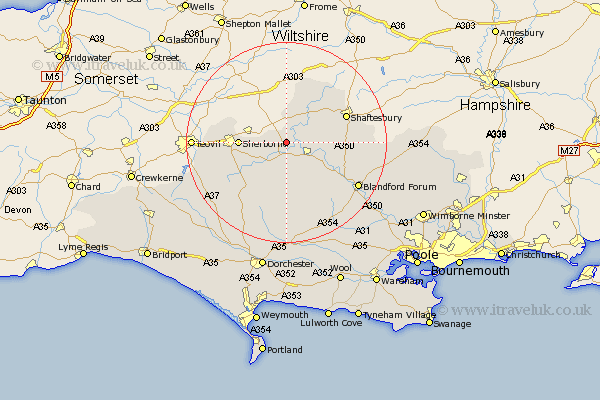
Dorset Map Showing Location of Stalbridge
Population: 2277
Area Size (ha): 67
District: North Dorset
Easting: 374245 Northing: 116854
Latitude: 50.95 Longitude: -2.37
 = Stalbridge
Area Size (ha): 67
District: North Dorset
Easting: 374245 Northing: 116854
Latitude: 50.95 Longitude: -2.37
= Stalbridge
This Stalbridge map below is supplied by Google. Use the tools in the top left corner to zoom into street level or zoom out for a road map, you may also need to zoom in to see Stalbridge on the map. Click and drag the map to move around. If the map fails to load try and refresh your browser or zoom in or out (+ or -).
Update - it seems Google no longer allow people to use their maps for free! This Stalbridge map sometimes loads and sometimes gives a error. I am working on a solution.
Closest 30 Towns or Cities to Stalbridge (Population over 500)
Stalbridge 0km Marnhull 3.96km Stour Provost 6.91km Sturminster Newton 6.92km Stour 8.06km East Stour 8.06km Sherbourne 9.34km Sherborne 9.34km Shillingstone 9.89km Child Okeford 10.05km Gillingham 11.61km Fontmell Magna 12.84km Motcombe 12.86km Shaftesbury 12.93km Iwerne Minster 12.98km Bourton 13.18km Stourpaine 13.84km Buckland Newton 14.23km Yetminster 15.08km Bradford Abbas 15.63km Leigh 15.84km Winterborne Stickland 16km Stickland Winterborne 16km Charlton 16.75km Blandford 16.81km Blandford Forum 16.81km Milton Abbas 17.68km Pimperne 17.96km Cerne Abbas 18.1km Puddletrenthide 18.87km