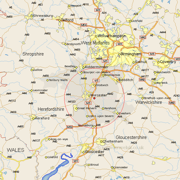
Worcestershire Map Showing Location of Spetchley
Population: 74
District: Wychavon
Easting: 389745 Northing: 253950
Latitude: 52.18 Longitude: -2.15
 = Spetchley
District: Wychavon
Easting: 389745 Northing: 253950
Latitude: 52.18 Longitude: -2.15
= Spetchley
This Spetchley map below is supplied by Google. Use the tools in the top left corner to zoom into street level or zoom out for a road map, you may also need to zoom in to see Spetchley on the map. Click and drag the map to move around. If the map fails to load try and refresh your browser or zoom in or out (+ or -).
Update - it seems Google no longer allow people to use their maps for free! This Spetchley map sometimes loads and sometimes gives a error. I am working on a solution.
Closest 30 Towns or Cities to Spetchley (Population over 500)
Crowle 2.93km Worcester 3.88km Peopleton 5.03km Fernhill Heath 6.52km Kempsey 6.52km Powick 7.06km Wadborough 7.41km Hallow 7.76km Grimley 8.79km Droitwich 9.27km Bishampton 9.28km Pershore 9.34km Holt 10.07km Seven Stoke 10.32km Severn Stoke 10.32km Ombersley 10.87km Defford 11.35km Leigh 11.36km Hanbury 11.51km Fladbury 11.73km Hanley Castle 12.49km Inkberrow 12.63km Eckington 13.16km Feckenham 13.56km Malvern 13.57km Great Malvern 13.57km Upton upon Severn 13.74km Upton 13.74km Upton on Severn 13.74km Upton-on-Severn 13.74km