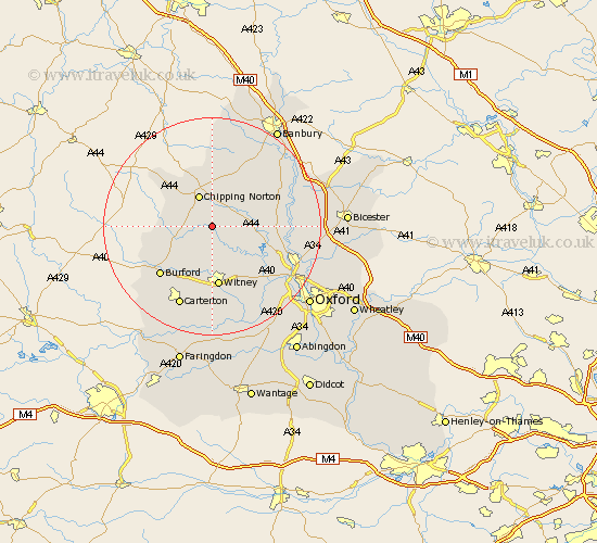
Oxfordshire Map Showing Location of Spelsbury
Population: 330
District: West Oxfordshire
Easting: 434411 Northing: 220693
Latitude: 51.88 Longitude: -1.5
 = Spelsbury
District: West Oxfordshire
Easting: 434411 Northing: 220693
Latitude: 51.88 Longitude: -1.5
= Spelsbury
This Spelsbury map below is supplied by Google. Use the tools in the top left corner to zoom into street level or zoom out for a road map, you may also need to zoom in to see Spelsbury on the map. Click and drag the map to move around. If the map fails to load try and refresh your browser or zoom in or out (+ or -).
Update - it seems Google no longer allow people to use their maps for free! This Spelsbury map sometimes loads and sometimes gives a error. I am working on a solution.
Closest 30 Towns or Cities to Spelsbury (Population over 500)
Chadlington 1.14km Charlbury 2.94km Enstone 5.06km Churchill 6.01km Chipping Norton 6.36km Shipton-under-Wychwood 6.82km Shipton 6.82km Shipton under Wychwood 6.82km Stonesfield 7.2km Leafield 7.75km Kingham 8.22km Hailey 9.33km Minster Lovell 9.54km North Leigh 10.33km Hook Norton 11.18km Witney 11.18km Hanborough 12.25km Church Handborough 12.25km Bladon 12.69km Duns Tew 12.71km Tackley 12.72km Burford 13.03km Woodstock 13.12km Barton 13.7km Brize Norton 13.75km Steeple Aston 14.22km Barford 14.39km Barford St John 14.39km Barford Saint John 14.39km Barford St. John 14.39km