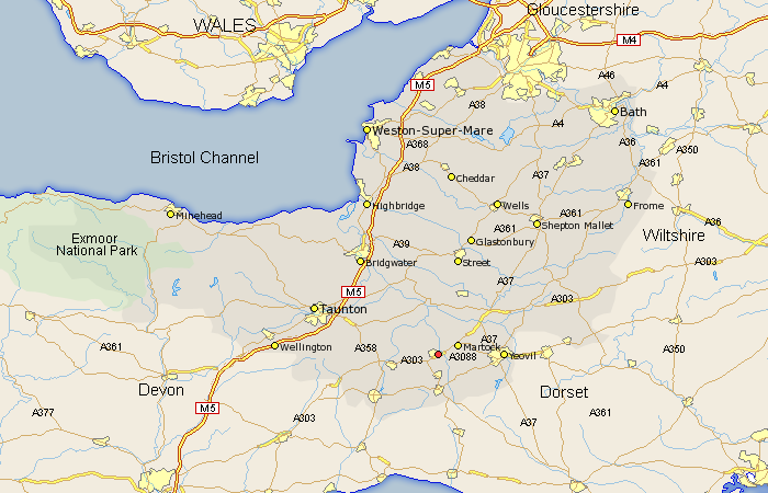
Somerset Map Showing Location of South Petherton
Population: 2468
Area Size (ha): 72
District: South Somerset
Easting: 343809 Northing: 117095
Latitude: 50.95 Longitude: -2.8
 = South Petherton
Area Size (ha): 72
District: South Somerset
Easting: 343809 Northing: 117095
Latitude: 50.95 Longitude: -2.8
= South Petherton
This South Petherton map below is supplied by Google. Use the tools in the top left corner to zoom into street level or zoom out for a road map, you may also need to zoom in to see South Petherton on the map. Click and drag the map to move around. If the map fails to load try and refresh your browser or zoom in or out (+ or -).
Update - it seems Google no longer allow people to use their maps for free! This South Petherton map sometimes loads and sometimes gives a error. I am working on a solution.
Closest 30 Towns or Cities to South Petherton (Population over 500)
Kingsbury 3.7km Kingsbury Episcopi 3.7km Martock 3.96km West Chinnock 5.1km Montacute 5.84km Tintinhull 6.12km Haselbury Plucknett 6.57km Crewkerne 7.42km Long Sutton 7.77km Ilton 8.17km Ilminster 8.38km West Coker 8.98km Misterton 9.26km Curry Rivel 9.44km Langport 9.55km Fivehead 9.88km Ilchester 9.88km Yeovilton 10.87km Somerton 11.66km Yeovil 11.68km Broadway 11.82km High Ham 13.03km Winsham 13.15km Stoke Saint Gregory 13.15km Stoke St Gregory 13.15km Stoke St. Gregory 13.15km Mudford 13.36km North Curry 13.82km Hatch Beauchamp 14.49km Chard 14.91km