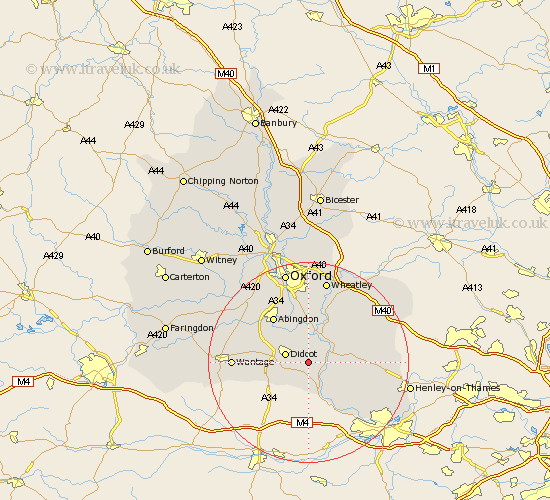
Oxfordshire Map Showing Location of South Moreton
Population: 350
District: South Oxfordshire
Easting: 456578 Northing: 187528
Latitude: 51.58 Longitude: -1.18
 = South Moreton
District: South Oxfordshire
Easting: 456578 Northing: 187528
Latitude: 51.58 Longitude: -1.18
= South Moreton
This South Moreton map below is supplied by Google. Use the tools in the top left corner to zoom into street level or zoom out for a road map, you may also need to zoom in to see South Moreton on the map. Click and drag the map to move around. If the map fails to load try and refresh your browser or zoom in or out (+ or -).
Update - it seems Google no longer allow people to use their maps for free! This South Moreton map sometimes loads and sometimes gives a error. I am working on a solution.
Closest 30 Towns or Cities to South Moreton (Population over 500)
Cholsey 2.95km East Hagbourne 3.45km Hagbourne 3.45km Wallingford 3.92km Didcot 4.97km Blewbury 5.07km Warborough 5.07km Dorchester 5.68km Moulsford 6.02km Long Wittenham 6.55km Chilton 6.85km Harwell 7.15km Benson 7.22km Clifton Hampden 7.51km Sutton Courtenay 8km Goring 8.17km Drayton St Leonard 8.18km Drayton 8.18km Drayton Saint Leonard 8.18km Drayton St. Leonard 8.18km Ewelme 8.27km Milton 8.87km Drayton 9.79km Stadhampton 9.89km Steventon 9.93km Chalgrove 10.13km Nuffield 10.53km Abingdon on Thames 11.56km Abingdon-on-Thames 11.56km Abingdon 11.56km