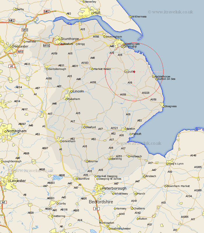
Lincolnshire Map Showing Location of South Cockerington
Population: 229
District: East Lindsey
Easting: 537494 Northing: 387556
Latitude: 53.37 Longitude: 0.07
 = South Cockerington
District: East Lindsey
Easting: 537494 Northing: 387556
Latitude: 53.37 Longitude: 0.07
= South Cockerington
This South Cockerington map below is supplied by Google. Use the tools in the top left corner to zoom into street level or zoom out for a road map, you may also need to zoom in to see South Cockerington on the map. Click and drag the map to move around. If the map fails to load try and refresh your browser or zoom in or out (+ or -).
Update - it seems Google no longer allow people to use their maps for free! This South Cockerington map sometimes loads and sometimes gives a error. I am working on a solution.
Closest 30 Towns or Cities to South Cockerington (Population over 500)
Grimoldby 1.11km Manby 2.21km Legbourne 3.88km Louth 5.53km Saltfleetby Saint Clement 8.58km Saltfleetby 8.58km Saltfleetby St. Clement 8.58km Saltfleetby St Clement 8.58km North Somercotes 9.24km Saltfleet 9.53km Fulstow 10.79km Grainthorpe 11.17km North Coates 11.34km Mablethorpe 12.72km North Thoresby 13.54km Tetney 14.09km Alford 15.12km Sutton on Sea 15.42km Sutton-on-Sea 15.42km binbrook 18.15km Huttoft 18.57km Holton le Clay 18.87km Willoughby 18.89km Humberston 19.67km Humberstone 19.67km Waltham 20km Great Grimsby 20.07km Grimsby 20.07km Spilsby 20.51km Cleethorpes 21.43km