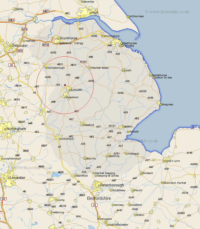
Lincolnshire Map Showing Location of South Carlton
Population: 93
District: West Lindsey
Easting: 494474 Northing: 375378
Latitude: 53.27 Longitude: -0.58
 = South Carlton
District: West Lindsey
Easting: 494474 Northing: 375378
Latitude: 53.27 Longitude: -0.58
= South Carlton
This South Carlton map below is supplied by Google. Use the tools in the top left corner to zoom into street level or zoom out for a road map, you may also need to zoom in to see South Carlton on the map. Click and drag the map to move around. If the map fails to load try and refresh your browser or zoom in or out (+ or -).
Update - it seems Google no longer allow people to use their maps for free! This South Carlton map sometimes loads and sometimes gives a error. I am working on a solution.
Closest 30 Towns or Cities to South Carlton (Population over 500)
Scrampton 3.86km Scampton 3.86km Skellingthorpe 4.33km Saxilby 4.43km Lincoln 4.99km Nettleham 6.65km Ingham 7.41km Welton 7.61km Dunholm 8.59km Dunholme 8.59km Sudbrooke 8.87km Scothern 9.06km Hykeham 9.27km North Hykeham 9.27km Washingborough 9.55km Thorpe-on-the-Hill 9.85km Thorpe 9.85km Thorpe on the Hill 9.85km Torksey 10.14km Reepham 10.65km Fiskerton 10.65km Heighington 10.74km Cherry Willingham 11.03km Willingham 11.4km Marton 11.42km Eagle 11.42km Waddington 11.61km Branston 12.1km North Scarle 12.44km Aubourn 13.16km