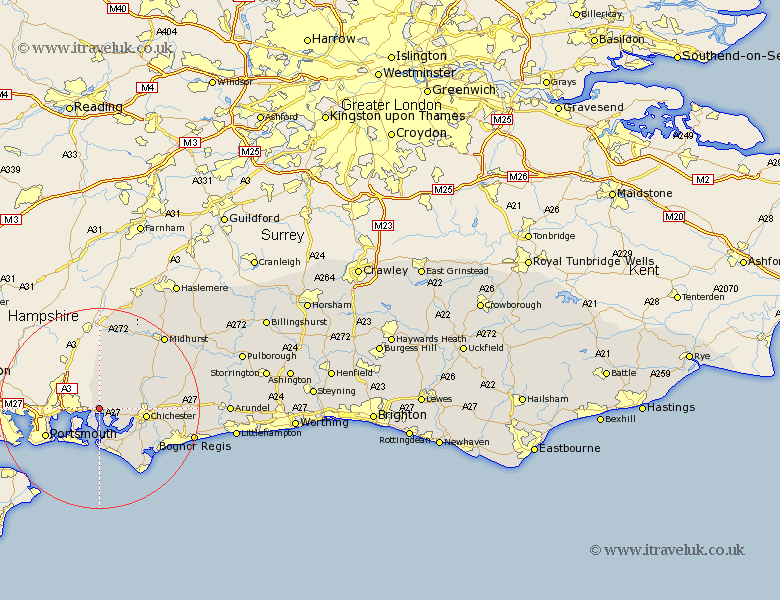
Sussex Map Showing Location of Southbourne
Population: 17900
Area Size (ha): 540
District: Chichester
Easting: 476253 Northing: 106230
Latitude: 50.85 Longitude: -0.92
 = Southbourne
Area Size (ha): 540
District: Chichester
Easting: 476253 Northing: 106230
Latitude: 50.85 Longitude: -0.92
= Southbourne
This Southbourne map below is supplied by Google. Use the tools in the top left corner to zoom into street level or zoom out for a road map, you may also need to zoom in to see Southbourne on the map. Click and drag the map to move around. If the map fails to load try and refresh your browser or zoom in or out (+ or -).
Update - it seems Google no longer allow people to use their maps for free! This Southbourne map sometimes loads and sometimes gives a error. I am working on a solution.
Closest 30 Towns or Cities to Southbourne (Population over 500)
Funtington 2.99km Bosham 5.1km West Thorney 5.68km Stoughton 5.97km Hayling Island 6.58km Fishbourne 8.4km West Wittering 9.34km Lavant 9.36km Birdham 9.45km Chichester 9.55km East Wittering 9.55km Dunnington 10.89km Donnington 10.89km Sidlesham 11.95km North Mundham 12.96km Mundham 12.96km East Harting 13.44km Boxgrove 14.04km Tangmere 14.04km Oving 14.17km Pagham 14.93km Selsey 16.01km Iping 17.52km Rogate 17.67km Bersted 17.99km Graffham 18.8km Eastergate 18.82km Midhurst 19.62km Bognor Regis 19.76km Slindon 19.89km