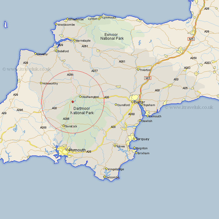
Devon Map Showing Location of Sourton
Population: 406
District: West Devon
Easting: 254069 Northing: 91029
Latitude: 50.7 Longitude: -4.07
 = Sourton
District: West Devon
Easting: 254069 Northing: 91029
Latitude: 50.7 Longitude: -4.07
= Sourton
This Sourton map below is supplied by Google. Use the tools in the top left corner to zoom into street level or zoom out for a road map, you may also need to zoom in to see Sourton on the map. Click and drag the map to move around. If the map fails to load try and refresh your browser or zoom in or out (+ or -).
Update - it seems Google no longer allow people to use their maps for free! This Sourton map sometimes loads and sometimes gives a error. I am working on a solution.
Closest 30 Towns or Cities to Sourton (Population over 500)
Bridestowe 2.99km Okehampton 5.98km Northlew 8.21km South Tawton 12.3km Sampford Courtenay 12.38km Sampford Courtney 12.38km Sampford Courtnay 12.38km Hatherleigh 12.98km Broadwoodwidger 13.05km Halwill 13.88km Black Torrington 15.35km Ashwater 15.7km North Tawton 16.16km Chagford 16.54km Dartmoor Forest 16.74km Lamerton 16.95km Lifton 16.98km Milton Abbot 17.05km Tavistock 17.68km St. Giles 18.88km St Giles 18.88km St Giles-on-the-Heath 18.88km St Giles on the Heath 18.88km Saint Giles-on-the-Heath 18.88km Saint Giles 18.88km Saint Giles on the Heath 18.88km St. Giles on the Heath 18.88km St. Giles-on-the-Heath 18.88km Whitechurch 19.12km Whitchurch 19.12km