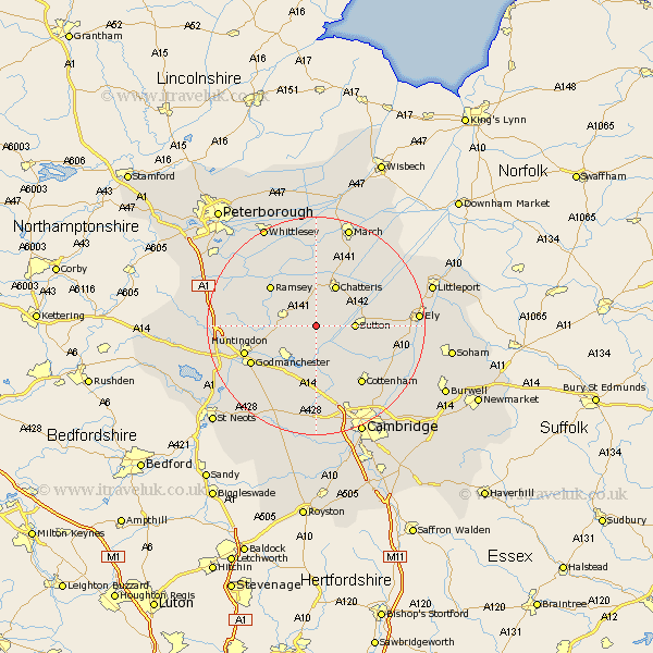
Cambridgeshire Map Showing Location of Somersham
Population: 3190
Area Size (ha): 80
District: Huntingdonshire
Easting: 536105 Northing: 278065
Latitude: 52.38 Longitude: -0
 = Somersham
Area Size (ha): 80
District: Huntingdonshire
Easting: 536105 Northing: 278065
Latitude: 52.38 Longitude: -0
= Somersham
This Somersham map below is supplied by Google. Use the tools in the top left corner to zoom into street level or zoom out for a road map, you may also need to zoom in to see Somersham on the map. Click and drag the map to move around. If the map fails to load try and refresh your browser or zoom in or out (+ or -).
Update - it seems Google no longer allow people to use their maps for free! This Somersham map sometimes loads and sometimes gives a error. I am working on a solution.
Closest 30 Towns or Cities to Somersham (Population over 500)
Colne 2.17km Bluntisham 3.87km Earith 3.87km Warboys 4.89km Sutton 6.79km Wistow 7.04km Over 7.49km Needingworth 7.49km Bury 7.73km Mepal 8.13km Chatteris 8.15km Willingham 8.68km Swavesey 9.26km Wyton 9.68km West Hemingford 10.05km Hemingford Abbots 10.05km Fen Stanton 10.31km St. Ives 10.31km Saint Ives 10.31km St Ives 10.31km Haddenham 10.84km Ramsey 10.84km Hemingford 10.85km Hemingford Grey 10.85km Long Stanton 11.63km Wilburton 11.91km Doddington 12km Durolipons 13.53km Godmanchester 13.53km Witchford 13.57km