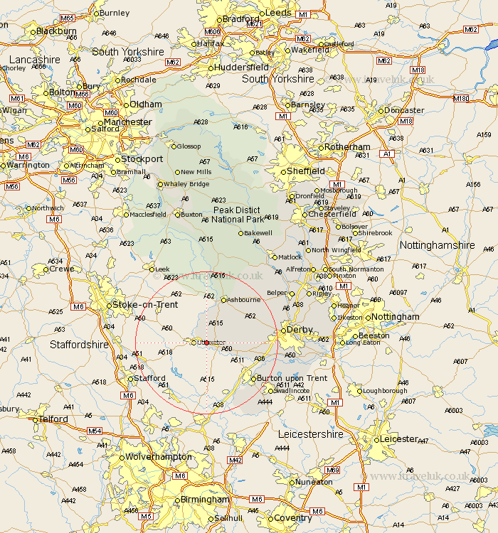
Derbyshire Map Showing Location of Somersal Herbert
Population: 92
District: Derbyshire Dales
Easting: 413451 Northing: 333671
Latitude: 52.9 Longitude: -1.8
 = Somersal Herbert
District: Derbyshire Dales
Easting: 413451 Northing: 333671
Latitude: 52.9 Longitude: -1.8
= Somersal Herbert
This Somersal Herbert map below is supplied by Google. Use the tools in the top left corner to zoom into street level or zoom out for a road map, you may also need to zoom in to see Somersal Herbert on the map. Click and drag the map to move around. If the map fails to load try and refresh your browser or zoom in or out (+ or -).
Update - it seems Google no longer allow people to use their maps for free! This Somersal Herbert map sometimes loads and sometimes gives a error. I am working on a solution.
Closest 30 Towns or Cities to Somersal Herbert (Population over 500)
Doveridge 1.12km Sudbury 5km Church Broughton 6.96km Scropton 7.89km Clifton 11.61km Brailsford 13.49km Ashbourne 13.72km Etwall 13.92km Egginton 15.34km Burnaston 15.76km Kirk Langley 16.08km Burton upon Trent 16.59km Burton-on-Trent 16.59km Burton on Trent 16.59km Newton Solney 17.25km Barton 17.59km Barton under Needwood 17.59km Barton-under-Needwood 17.59km Repton 18.35km Willington 18.35km Walton on Trent 18.43km Walton 18.43km Walton upon Trent 18.43km Walton-on-Trent 18.43km Findern 18.74km Bretby 19.5km Derby 20.45km Quarndon 20.87km Rosliston 21.66km Swadlincote 22.4km