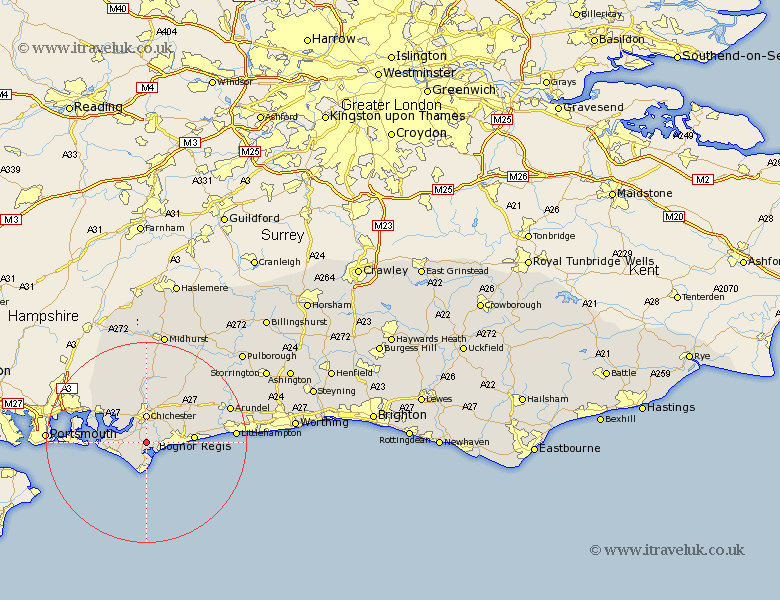
Sussex Map Showing Location of Sidlesham
Population: 1139
District: Chichester
Easting: 485760 Northing: 98960
Latitude: 50.78 Longitude: -0.78
 = Sidlesham
District: Chichester
Easting: 485760 Northing: 98960
Latitude: 50.78 Longitude: -0.78
= Sidlesham
This Sidlesham map below is supplied by Google. Use the tools in the top left corner to zoom into street level or zoom out for a road map, you may also need to zoom in to see Sidlesham on the map. Click and drag the map to move around. If the map fails to load try and refresh your browser or zoom in or out (+ or -).
Update - it seems Google no longer allow people to use their maps for free! This Sidlesham map sometimes loads and sometimes gives a error. I am working on a solution.
Closest 30 Towns or Cities to Sidlesham (Population over 500)
Donnington 1.86km Dunnington 1.86km Pagham 2.98km North Mundham 2.99km Mundham 2.99km Birdham 3.51km Chichester 5.56km Selsey 5.56km Fishbourne 5.68km Bosham 6.93km Bersted 7.03km Oving 7.27km East Wittering 7.27km Lavant 7.42km West Thorney 8.41km West Wittering 8.41km Tangmere 8.77km Boxgrove 8.77km Bognor 9.37km Felpham 9.37km Bognor Regis 9.44km Eastergate 10.89km Westergate 10.98km Barnham 11.18km Funtington 11.63km Middleton 11.72km Middleton on Sea 11.72km Middleton-on-Sea 11.72km Southbourne 11.95km Westbourne 11.95km