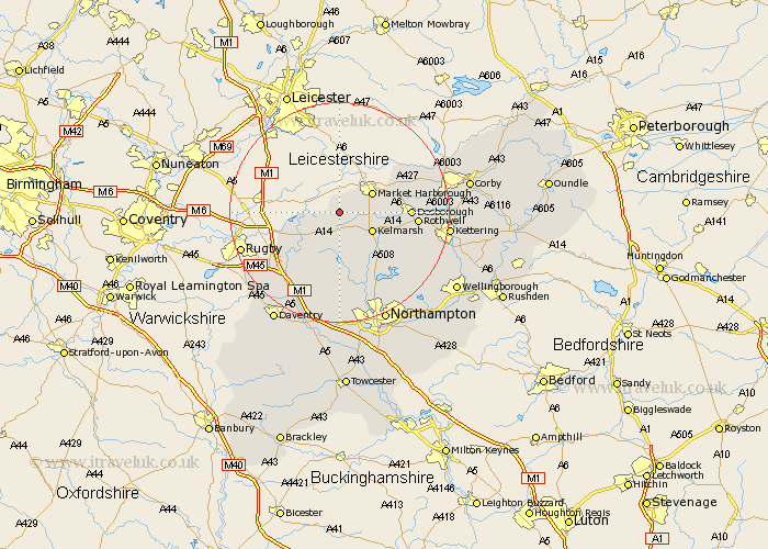
Northamptonshire Map Showing Location of Sibbertoft
Population: 343
District: Daventry
Easting: 467978 Northing: 282214
Latitude: 52.43 Longitude: -1
 = Sibbertoft
District: Daventry
Easting: 467978 Northing: 282214
Latitude: 52.43 Longitude: -1
= Sibbertoft
This Sibbertoft map below is supplied by Google. Use the tools in the top left corner to zoom into street level or zoom out for a road map, you may also need to zoom in to see Sibbertoft on the map. Click and drag the map to move around. If the map fails to load try and refresh your browser or zoom in or out (+ or -).
Update - it seems Google no longer allow people to use their maps for free! This Sibbertoft map sometimes loads and sometimes gives a error. I am working on a solution.
Closest 30 Towns or Cities to Sibbertoft (Population over 500)
Clipston 3.86km Welford 3.86km Naseby 5.67km Yelvertoft 10.84km Guilsborough 11.12km West Haddon 12km Desborough 12.43km Spratton 13.4km Rothwell 13.69km Rowell 13.69km Crick 14.34km Brixworth 14.63km Wilbarston 14.65km East Haddon 14.87km Long Buckby 15.5km Kilsby 15.86km Walgrave 16.69km Pitsford 16.81km Broughton 17.48km Cottingham 17.83km Boughton 18.01km Barby 18.77km Welton 19.54km Moulton 19.54km Kettering 19.57km Overstone 20.81km Caldecott 21.31km Geddington 21.47km Braunston 21.51km Northampton 21.87km