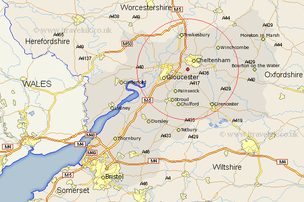
Gloucestershire Map Showing Location of Shurdington
Population: 2252
Area Size (ha): 56
District: Tewkesbury
Easting: 391967 Northing: 218735
Latitude: 51.87 Longitude: -2.12
 = Shurdington
Area Size (ha): 56
District: Tewkesbury
Easting: 391967 Northing: 218735
Latitude: 51.87 Longitude: -2.12
= Shurdington
This Shurdington map below is supplied by Google. Use the tools in the top left corner to zoom into street level or zoom out for a road map, you may also need to zoom in to see Shurdington on the map. Click and drag the map to move around. If the map fails to load try and refresh your browser or zoom in or out (+ or -).
Update - it seems Google no longer allow people to use their maps for free! This Shurdington map sometimes loads and sometimes gives a error. I am working on a solution.
Closest 30 Towns or Cities to Shurdington (Population over 500)
Leckhampton 2.29km Charlton Kings 3.43km Churchdown 3.9km Brockworth 3.9km Cheltenham 4.35km Hucclecote 4.94km Innsworth 6.01km Staverton 6.53km Swindon 7.49km Southam 8.7km Bishops Cleeve 9.88km Gloucester 9.88km Painswick 10.34km Andoversford 11.44km Withington 12.04km Deerhurst 12.5km Ashleworth 12.68km Quedgeley 12.73km Hartpury 13.75km Hardwicke 13.77km Stroud 14.19km Randwick 14.41km Corse 14.6km Winchcomb 14.72km Winchcombe 14.72km Ashchurch 14.82km Tewkesbury 15km North Cerney 15.16km Chalford 15.23km Alderton 15.24km