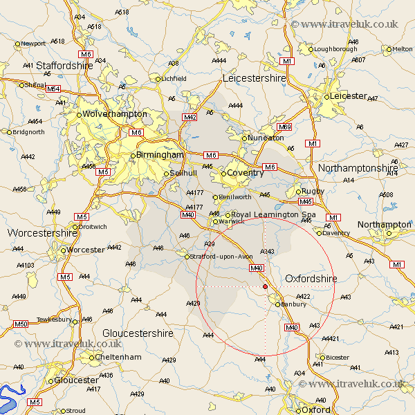
Warwickshire Map Showing Location of Shotteswell
Population: 231
District: Stratford-on-Avon
Easting: 442236 Northing: 244854
Latitude: 52.1 Longitude: -1.38
 = Shotteswell
District: Stratford-on-Avon
Easting: 442236 Northing: 244854
Latitude: 52.1 Longitude: -1.38
= Shotteswell
This Shotteswell map below is supplied by Google. Use the tools in the top left corner to zoom into street level or zoom out for a road map, you may also need to zoom in to see Shotteswell on the map. Click and drag the map to move around. If the map fails to load try and refresh your browser or zoom in or out (+ or -).
Update - it seems Google no longer allow people to use their maps for free! This Shotteswell map sometimes loads and sometimes gives a error. I am working on a solution.
Closest 30 Towns or Cities to Shotteswell (Population over 500)
Fenny Compton 5.56km Church Tysoe 8.18km Middle Tysoe 8.18km Tysoe 8.18km Kineton 9.71km Bishops Itchington 11.63km Lighthorne 12.21km Brailes 12.66km Lower Brailes 12.66km Priors Marston 13.05km Ettington 15.25km Eatington 15.25km Harbury 15.5km Napton 15.5km Napton-on-the-Hill 15.5km Napton on the Hill 15.5km Wellesbourne Hastings 16.5km Wellesbourne 16.5km Southam 16.68km Shipston on Stour 16.89km Shipston-on-Stour 16.89km Bishops Tachbrook 18.01km Long Itchington 18.54km Stockton 18.67km Long Compton 18.86km Whitnash 19km Ilmington 20.58km Barford 20.93km Stratford on Avon 23.51km Stratford-on-Avon 23.51km