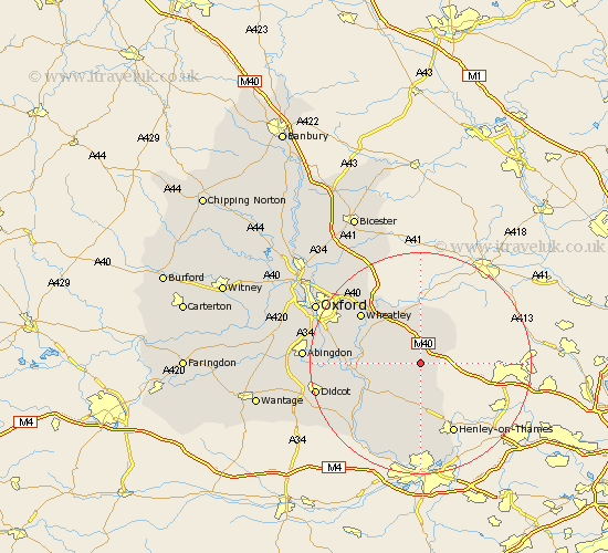
Oxfordshire Map Showing Location of Shirburn
Population: 103
District: South Oxfordshire
Easting: 470330 Northing: 195119
Latitude: 51.65 Longitude: -0.98
 = Shirburn
District: South Oxfordshire
Easting: 470330 Northing: 195119
Latitude: 51.65 Longitude: -0.98
= Shirburn
This Shirburn map below is supplied by Google. Use the tools in the top left corner to zoom into street level or zoom out for a road map, you may also need to zoom in to see Shirburn on the map. Click and drag the map to move around. If the map fails to load try and refresh your browser or zoom in or out (+ or -).
Update - it seems Google no longer allow people to use their maps for free! This Shirburn map sometimes loads and sometimes gives a error. I am working on a solution.
Closest 30 Towns or Cities to Shirburn (Population over 500)
Lewknor 2.18km Watlington 2.18km Aston Rowant 2.96km Tetsworth 5.68km Chinnor 6.84km Chalgrove 6.9km Great Haseley 8km Ewelme 8km Nettlebed 9.26km Benson 9.39km Nuffield 9.88km Great Milton 10.13km Milton 10.13km Drayton St. Leonard 10.35km Drayton St Leonard 10.35km Drayton Saint Leonard 10.35km Drayton 10.35km Stadhampton 10.51km Tiddington 10.9km Warborough 11km Thame 11.12km Bix 11.35km Wallingford 11.75km Cuddesdon 12.73km Garsington 12.77km Dorchester 12.79km Rotherfield Peppard 13.03km Wheatley 13.88km Henley-on-Thames 14.19km Henley on Thames 14.19km