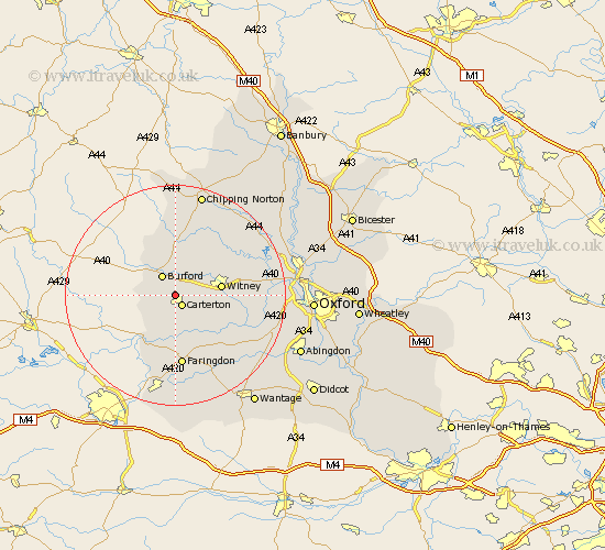
Oxfordshire Map Showing Location of Shilton
Population: 533
District: West Oxfordshire
Easting: 427600 Northing: 207683
Latitude: 51.77 Longitude: -1.6
 = Shilton
District: West Oxfordshire
Easting: 427600 Northing: 207683
Latitude: 51.77 Longitude: -1.6
= Shilton
This Shilton map below is supplied by Google. Use the tools in the top left corner to zoom into street level or zoom out for a road map, you may also need to zoom in to see Shilton on the map. Click and drag the map to move around. If the map fails to load try and refresh your browser or zoom in or out (+ or -).
Update - it seems Google no longer allow people to use their maps for free! This Shilton map sometimes loads and sometimes gives a error. I am working on a solution.
Closest 30 Towns or Cities to Shilton (Population over 500)
Carterton 2.18km Brize Norton 2.29km Burford 4.36km Minster Lovell 5.89km Leafield 7.21km Bampton 7.21km Clanfield 7.5km Witney 8.24km Ducklington 8.24km Hailey 8.84km Shipton-under-Wychwood 9.33km Shipton 9.33km Shipton under Wychwood 9.33km North Leigh 12.05km Faringdon 13.03km Buckland 13.08km Stonesfield 13.64km Standlake 13.79km Chadlington 14.17km Stanton Harcourt 14.26km Charlbury 14.41km Longworth 14.76km Kingham 14.87km Churchill 14.87km Ensham 14.91km Eynsham 14.91km Church Handborough 15.36km Hanborough 15.36km Stanford in the Vale 16.36km Kingston Bagpuze 16.83km