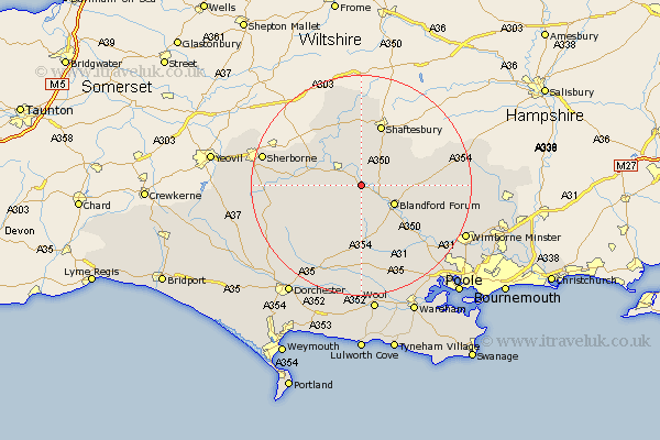
Dorset Map Showing Location of Shillingstone
Population: 1008
District: North Dorset
Easting: 382421 Northing: 111260
Latitude: 50.9 Longitude: -2.25
 = Shillingstone
District: North Dorset
Easting: 382421 Northing: 111260
Latitude: 50.9 Longitude: -2.25
= Shillingstone
This Shillingstone map below is supplied by Google. Use the tools in the top left corner to zoom into street level or zoom out for a road map, you may also need to zoom in to see Shillingstone on the map. Click and drag the map to move around. If the map fails to load try and refresh your browser or zoom in or out (+ or -).
Update - it seems Google no longer allow people to use their maps for free! This Shillingstone map sometimes loads and sometimes gives a error. I am working on a solution.
Closest 30 Towns or Cities to Shillingstone (Population over 500)
Child Okeford 2.19km Sturminster Newton 2.98km Stourpaine 3.97km Iwerne Minster 5.96km Blandford 6.92km Blandford Forum 6.92km Fontmell Magna 7.26km Winterborne Stickland 7.51km Stickland Winterborne 7.51km Pimperne 8.39km Marnhull 8.77km Stour Provost 9.55km Stalbridge 9.89km Whitechurch 11.18km East Stour 11.36km Stour 11.36km Milton Abbas 11.36km Shaftesbury 11.66km Tarrant Monkton 12.26km Charlton 12.35km Spetisbury 13.17km Motcombe 13.19km Gillingham 14.87km Milborne 15.01km Milborne St Andrew 15.01km Milborne Saint Andrew 15.01km Milborne St. Andrew 15.01km Winterborne Kingston 15.23km Buckland Newton 15.87km Bere Regis 16.84km