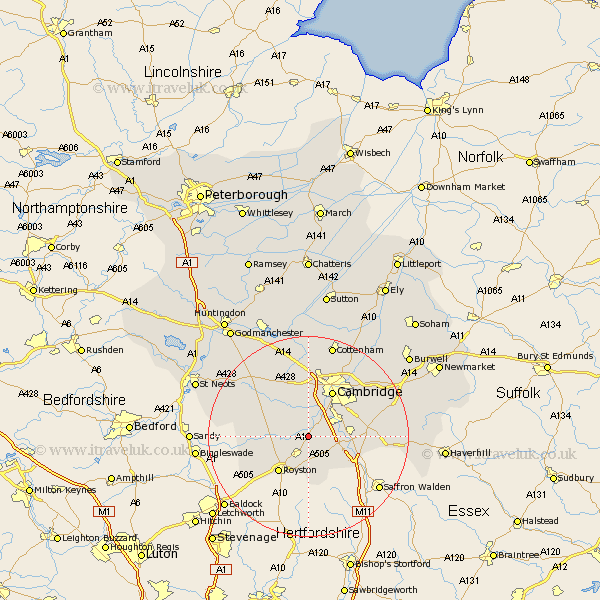
Cambridgeshire Map Showing Location of Shepreth
Population: 819
District: South Cambridgeshire
Easting: 540346 Northing: 248514
Latitude: 52.12 Longitude: 0.05
 = Shepreth
District: South Cambridgeshire
Easting: 540346 Northing: 248514
Latitude: 52.12 Longitude: 0.05
= Shepreth
This Shepreth map below is supplied by Google. Use the tools in the top left corner to zoom into street level or zoom out for a road map, you may also need to zoom in to see Shepreth on the map. Click and drag the map to move around. If the map fails to load try and refresh your browser or zoom in or out (+ or -).
Update - it seems Google no longer allow people to use their maps for free! This Shepreth map sometimes loads and sometimes gives a error. I am working on a solution.
Closest 30 Towns or Cities to Shepreth (Population over 500)
Barrington 1.14km Foxton 1.14km Haslingfield 1.85km Harston 2.93km Meldreth 2.94km Needham Market 3.87km Thriplow 3.89km Foulmere 4.36km Fowlmere 4.36km Melborn 4.36km Melbourn 4.36km Orwell 4.91km Hauxton 5.04km Shelford 5.98km Whittlesford 6.83km Comberton 7.49km Duxford 7.77km Sawston 7.97km Toft 8.69km Bassingbourn 8.81km Coton 9.33km Hardwick 9.54km Hardwicke 9.54km Bourn 10.07km Cambridge 10.32km Ickleton 10.67km Litlington 10.67km Teversham 12.98km Dry Drayton 13.02km Guilden Morden 13.06km