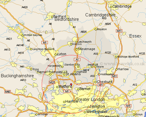
Hertfordshire Map Showing Location of Shenley
Population: 2171
Area Size (ha): 75
District: Hertsmere
Easting: 519816 Northing: 199755
Latitude: 51.68 Longitude: -0.27
 = Shenley
Area Size (ha): 75
District: Hertsmere
Easting: 519816 Northing: 199755
Latitude: 51.68 Longitude: -0.27
= Shenley
This Shenley map below is supplied by Google. Use the tools in the top left corner to zoom into street level or zoom out for a road map, you may also need to zoom in to see Shenley on the map. Click and drag the map to move around. If the map fails to load try and refresh your browser or zoom in or out (+ or -).
Update - it seems Google no longer allow people to use their maps for free! This Shenley map sometimes loads and sometimes gives a error. I am working on a solution.
Closest 30 Towns or Cities to Shenley (Population over 500)
Radlett 3.45km Borehamwood 3.7km London Colney 3.89km London Olney 3.89km North Mymms 3.89km Colney Heath 5.68km Elstree 5.68km Aldenham 6.03km Potters Bar 6.89km Brookmans Park 7.99km Bushey 7.99km Saint Albans 8.72km St Albans 8.72km St. Albans 8.72km Watford 9.38km Sandridge 9.55km Hatfield 9.67km Abbots Langley 10.5km Cuffley 10.5km Essendon 10.94km Bishops Hatfield 11.55km Kings Langley 12.77km Wheathampstead 13.03km Redbourn 13.72km Garden City 13.76km Welwyn Garden City 13.76km Croxley Green 13.81km Harpenden 14.19km Rickmansworth 14.87km Sarratt 14.94km