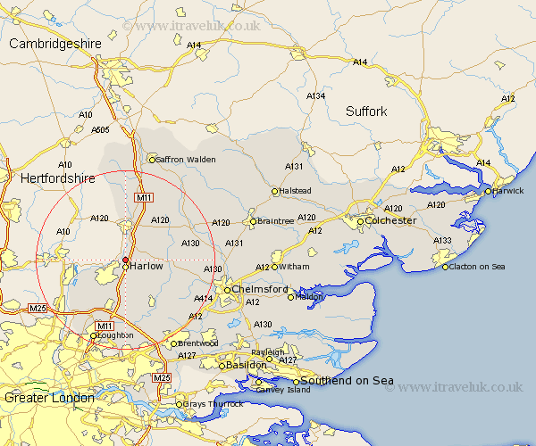
Essex Map Showing Location of Sheering
Population: 2838
District: Epping Forest
Easting: 549382 Northing: 213531
Latitude: 51.8 Longitude: 0.17
 = Sheering
District: Epping Forest
Easting: 549382 Northing: 213531
Latitude: 51.8 Longitude: 0.17
= Sheering
This Sheering map below is supplied by Google. Use the tools in the top left corner to zoom into street level or zoom out for a road map, you may also need to zoom in to see Sheering on the map. Click and drag the map to move around. If the map fails to load try and refresh your browser or zoom in or out (+ or -).
Update - it seems Google no longer allow people to use their maps for free! This Sheering map sometimes loads and sometimes gives a error. I am working on a solution.
Closest 30 Towns or Cities to Sheering (Population over 500)
Harlow 1.86km Hatfield Heath 3.44km Hallingbury 3.88km Great Hallingbury 3.88km Matching 3.91km Hatfield Broad Oak 6.82km Birchanger 9.33km Roydon 9.89km Takeley 10.11km Fyfield 10.12km Nazeing 10.12km Ongar Station 11.12km North Weald 11.12km North Weald Bassett 11.18km Stansted Mountfitchet 11.35km Stansted Apt 11.35km Stansted 11.35km Epping 11.64km Chipping Ongar 12.51km High Easter 12.61km Manuden 12.98km High Ongar 13.08km Elsenham 13.76km Stanford Rivers 15.22km Theydon Bois 15.52km Broxted 15.88km Henham 15.89km Roxwell 15.91km Great Easton 15.96km Dunmow 16.57km