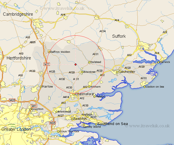
Essex Map Showing Location of Shalford
Population: 746
District: Braintree
Easting: 571851 Northing: 229088
Latitude: 51.93 Longitude: 0.5
 = Shalford
District: Braintree
Easting: 571851 Northing: 229088
Latitude: 51.93 Longitude: 0.5
= Shalford
This Shalford map below is supplied by Google. Use the tools in the top left corner to zoom into street level or zoom out for a road map, you may also need to zoom in to see Shalford on the map. Click and drag the map to move around. If the map fails to load try and refresh your browser or zoom in or out (+ or -).
Update - it seems Google no longer allow people to use their maps for free! This Shalford map sometimes loads and sometimes gives a error. I am working on a solution.
Closest 30 Towns or Cities to Shalford (Population over 500)
Great Bardfield 1.14km Wethersfield 2.18km Finchingfield 5.05km Panfield 5.68km Gosfield 5.71km Sible Hedingham 6.81km Braintree 7.2km Toppesfield 7.76km Stebbing 7.97km Great Sampford 8.82km Castle Hedingham 8.82km Thaxted 9.33km Halstead 9.33km Rayne 9.36km Stisted 9.75km Black Notley 9.88km Yeldham 10.34km Great Yeldham 10.34km Dunmow 10.7km Great Dunmow 10.7km Bradwell 10.91km Felsted 11.53km Barnston 11.53km Cressing 11.53km Steeple Bumpstead 11.64km Great Easton 12.02km Great Leighs 13.02km Ridgwell 13.18km Ridgewell 13.18km Radwinter 13.62km