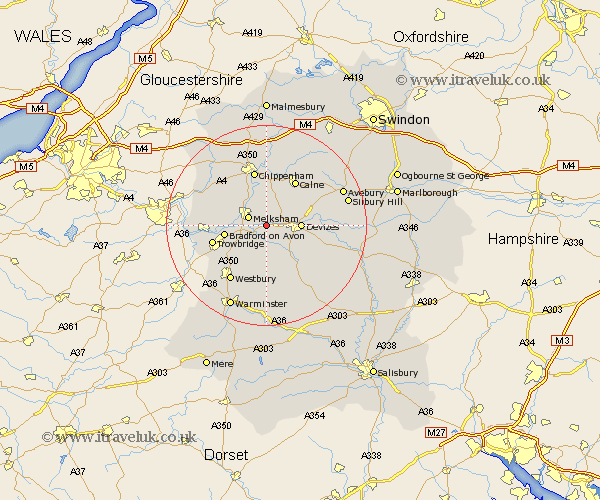
Wiltshire Map Showing Location of Seend
Population: 1074
District: Kennet
Easting: 394197 Northing: 161272
Latitude: 51.35 Longitude: -2.08
 = Seend
District: Kennet
Easting: 394197 Northing: 161272
Latitude: 51.35 Longitude: -2.08
= Seend
This Seend map below is supplied by Google. Use the tools in the top left corner to zoom into street level or zoom out for a road map, you may also need to zoom in to see Seend on the map. Click and drag the map to move around. If the map fails to load try and refresh your browser or zoom in or out (+ or -).
Update - it seems Google no longer allow people to use their maps for free! This Seend map sometimes loads and sometimes gives a error. I am working on a solution.
Closest 30 Towns or Cities to Seend (Population over 500)
Rowde 3.47km Worton 3.88km Melksham 3.94km Semington 4.63km Potterne 5.93km Laycock 6.02km Lacock 6.02km Steeple Ashton 6.56km Devizes 6.94km Roundway 7.19km Broughton Gifford 7.19km Erlestoke 7.51km Hilperton 7.87km Holt 8.1km Bradford on Avon 8.31km Bradford-on-Avon 8.31km Atworth 8.91km Whitley 8.98km Edington 9.33km Bishops Cannings 9.44km Bratton 9.55km Market Lavington 10.16km Lavington 10.16km Calne 10.92km Corsham 10.92km Trowbridge 11.06km Chippenham 11.36km Bremhill 11.65km Urchfont 11.81km Cherhill 11.86km