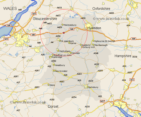
Wiltshire Map Showing Location of Seagry
Population: 300
District: North Wiltshire
Easting: 395374 Northing: 179808
Latitude: 51.52 Longitude: -2.07
 = Seagry
District: North Wiltshire
Easting: 395374 Northing: 179808
Latitude: 51.52 Longitude: -2.07
= Seagry
This Seagry map below is supplied by Google. Use the tools in the top left corner to zoom into street level or zoom out for a road map, you may also need to zoom in to see Seagry on the map. Click and drag the map to move around. If the map fails to load try and refresh your browser or zoom in or out (+ or -).
Update - it seems Google no longer allow people to use their maps for free! This Seagry map sometimes loads and sometimes gives a error. I am working on a solution.
Closest 30 Towns or Cities to Seagry (Population over 500)
Great Somerford 1.85km Somerford 1.85km Sutton Benger 2.19km Christian Malford 2.19km Stanton St. Quintin 4.61km Stanton 4.61km Stanton Saint Quintin 4.61km Stanton St Quintin 4.61km Lea 5.56km Hullavington 6.05km Brinkworth 6.85km Lyneham 6.92km Malmesbury 7.5km Malmsbury 7.5km Bremhill 7.77km Chippenham 8.19km Hillmarton 8.88km Hilmarton 8.88km Yatton Keynell 9.95km Calne 10.36km Corsham 11.57km Wooton Bassett 11.68km Wootton Bassett 11.68km Sherston 11.77km Crudwell 12.97km Luckington 13.21km Lacock 13.43km Laycock 13.43km Minety 13.74km Cherhill 13.75km