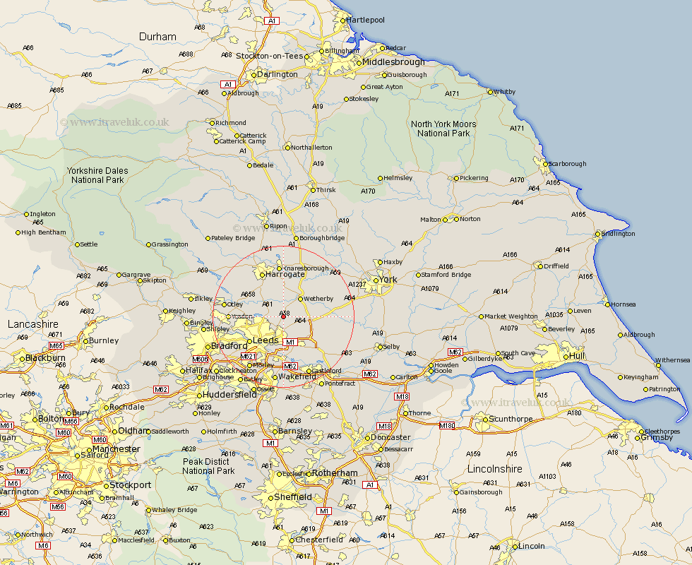
Yorkshire Map Showing Location of Scarcroft
Population: 1153
District: Leeds
Easting: 436163 Northing: 441328
Latitude: 53.87 Longitude: -1.45
 = Scarcroft
District: Leeds
Easting: 436163 Northing: 441328
Latitude: 53.87 Longitude: -1.45
= Scarcroft
This Scarcroft map below is supplied by Google. Use the tools in the top left corner to zoom into street level or zoom out for a road map, you may also need to zoom in to see Scarcroft on the map. Click and drag the map to move around. If the map fails to load try and refresh your browser or zoom in or out (+ or -).
Update - it seems Google no longer allow people to use their maps for free! This Scarcroft map sometimes loads and sometimes gives a error. I am working on a solution.
Closest 30 Towns or Cities to Scarcroft (Population over 500)
Scarcroft 0km East Keswick 1.87km Bardsey 2.14km Thorner 2.87km Collingham 4.94km Harewood 4.94km Scholes 5.97km Bramham 6.81km Wetherby 7.07km Boston Spa 7.53km Weeton 9.45km Thorp Arch 9.45km Thorpe Arch 9.45km Aberford 9.46km Garforth 10.25km Arthington 10.5km Arthington Junction Station 10.5km Micklefield 10.66km Pannal 10.75km Bramhope 11.08km Swillington 11.33km Leeds 11.47km Poole 11.53km Pool 11.53km Pool-in-Wharfedale 11.53km Tadcaster 12.16km Kippax 12.39km Horsforth 12.59km Rothwell 13.16km Harrogate 14.07km