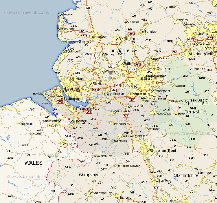
Cheshire Map Showing Location of Saughall
Population: 3181
Area Size (ha): 65
District: Chester
Easting: 336571 Northing: 369301
Latitude: 53.22 Longitude: -2.95
 = Saughall
Area Size (ha): 65
District: Chester
Easting: 336571 Northing: 369301
Latitude: 53.22 Longitude: -2.95
= Saughall
This Saughall map below is supplied by Google. Use the tools in the top left corner to zoom into street level or zoom out for a road map, you may also need to zoom in to see Saughall on the map. Click and drag the map to move around. If the map fails to load try and refresh your browser or zoom in or out (+ or -).
Update - it seems Google no longer allow people to use their maps for free! This Saughall map sometimes loads and sometimes gives a error. I am working on a solution.
Closest 30 Towns or Cities to Saughall (Population over 500)
Mollington 2.89km Chester 2.89km Willaston 8.12km Ellesmere Port 8.12km Christleton 8.61km Mickle Trafford 8.88km Dodleston 9.27km Elton 9.62km Neston 9.96km Great Barrow 10.16km Barrow 10.16km Dunham on the Hill 10.65km Dunham-on-the-Hill 10.65km Dunham 10.65km Waverton 11.44km Tarvin 12.35km Helsby 13.41km Ashton 14.43km Heswall 14.94km Bebington 15.47km Bebington and Bromborough 15.47km Farndon 15.48km Hale 16.36km Tattenhall 16.52km Frodsham 17.13km Kelsall Hill 17.76km Kelsall 17.76km Kelshall Hill 17.76km Weston 18.2km Runcorn 18.57km