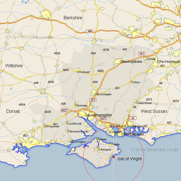
Hampshire Map Showing Location of Sandown
Population: 19862
Area Size (ha): 544
Easting: 460085 Northing: 83777
Latitude: 50.65 Longitude: -1.15
 = Sandown
Area Size (ha): 544
Easting: 460085 Northing: 83777
Latitude: 50.65 Longitude: -1.15
= Sandown
This Sandown map below is supplied by Google. Use the tools in the top left corner to zoom into street level or zoom out for a road map, you may also need to zoom in to see Sandown on the map. Click and drag the map to move around. If the map fails to load try and refresh your browser or zoom in or out (+ or -).
Update - it seems Google no longer allow people to use their maps for free! This Sandown map sometimes loads and sometimes gives a error. I am working on a solution.
Closest 30 Towns or Cities to Sandown (Population over 500)
Brading 3.7km Newchurch 3.98km Shanklin 4.39km Bembridge 5.99km Jentnor 6.04km Ventnor 6.04km Saint Helens 6.04km St Helens 6.04km St. Helens 6.04km Wroxall 7.28km Arreton 7.29km Godshill 7.97km Seaview 8.21km Ryde 9.34km Rookley 9.4km Wootton 9.46km Newport 10.92km Niton 11.98km Chale 13.9km Shorwell 14.22km Northwood 14.95km East Cowes 15.34km Southsea 15.94km Gurnard 16.17km Brighstone 16.56km Brightstone 16.56km Gosport 16.72km Cowes 16.73km Lee-on-the-Solent 17.05km Lee on Solent 17.05km